Calibration and validation of satellite sensors
27
Calibration and Calibration and validation of validation of satellite sensors satellite sensors 1 Sharlene-Asia Naicker Sharlene-Asia Naicker Maanda Rambau Maanda Rambau Sedzani Elia Muravha Sedzani Elia Muravha Amanda Forbes Amanda Forbes Busisiwe Nkuzani Busisiwe Nkuzani
description
Calibration and validation of satellite sensors. Sharlene -Asia Naicker Maanda Rambau Sedzani Elia Muravha Amanda Forbes Busisiwe Nkuzani. Overview. Introduction Definition and importance Technology trends Challenges Best practices Career scope Conclusion Questions Bibliography. - PowerPoint PPT Presentation
Transcript of Calibration and validation of satellite sensors
Calibration and validation of Calibration and validation of satellite sensorssatellite sensors
11
Sharlene-Asia NaickerSharlene-Asia Naicker
Maanda RambauMaanda Rambau
Sedzani Elia MuravhaSedzani Elia Muravha
Amanda ForbesAmanda Forbes
Busisiwe NkuzaniBusisiwe Nkuzani
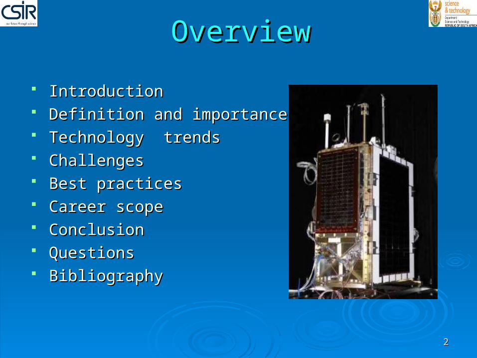
OverviewOverview
IntroductionIntroduction Definition and importance Definition and importance Technology trendsTechnology trends ChallengesChallenges Best practicesBest practices Career scopeCareer scope ConclusionConclusion QuestionsQuestions BibliographyBibliography
22
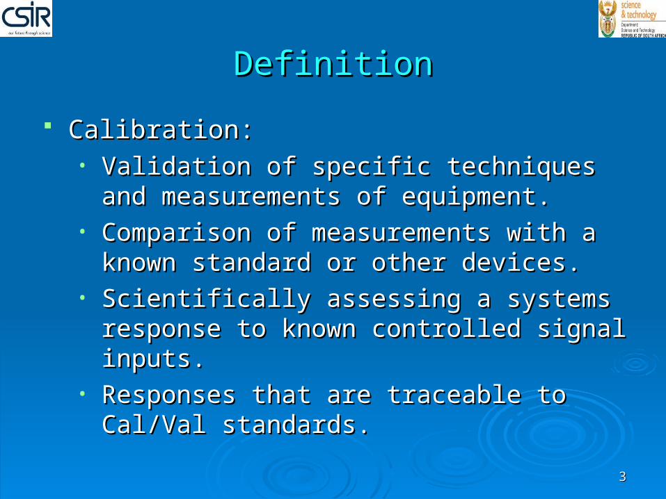
DefinitionDefinition
33
Calibration:Calibration:• Validation of specific techniques and Validation of specific techniques and
measurements of equipment.measurements of equipment.• Comparison of measurements with a known Comparison of measurements with a known
standard or other devices.standard or other devices.• Scientifically assessing a systems response to Scientifically assessing a systems response to
known controlled signal inputs.known controlled signal inputs.• Responses that are traceable to Cal/Val Responses that are traceable to Cal/Val
standards.standards.
DefinitionDefinition
44
Validation:Validation:
• Product and process that conforms to the Product and process that conforms to the necessary user requirements and necessary user requirements and specifications.specifications.
• Process of assessing the quality data that is Process of assessing the quality data that is derived a systems output.derived a systems output.
ImportanceImportance
55
Building blocks of all satellites programs.Building blocks of all satellites programs. Data from different sensors are processed.Data from different sensors are processed. Reliability and possibility of uncertainties are Reliability and possibility of uncertainties are
established.established. Needed for airborne, space borne, images and Needed for airborne, space borne, images and
data retrieval.data retrieval. Can be done in a shuttle or on a satellite.Can be done in a shuttle or on a satellite. Instruments performance and calibration Instruments performance and calibration
accuracy.accuracy.
ImportanceImportance
66
Needed to be done:Needed to be done:
• Pre-launch: data to be accurate and reliable.Pre-launch: data to be accurate and reliable.• In-orbit: High temporal resolution and prior In-orbit: High temporal resolution and prior
data acquisition.data acquisition.• Post-launch: Using in-situ measurements and Post-launch: Using in-situ measurements and
provide reference data for future calibration provide reference data for future calibration and validation measurements.and validation measurements.
ImportanceImportance
77
Generate consistent and accurate data.Generate consistent and accurate data. To determine progress of validation.To determine progress of validation. One kind of calibration is enough.One kind of calibration is enough. Techniques such as relative and absolute which Techniques such as relative and absolute which
use uniform spatial radiance are efficient.use uniform spatial radiance are efficient. Technically demanding but require international Technically demanding but require international
standards.standards. Data quality, competency and aid detection Data quality, competency and aid detection
methods.methods.
ImportanceImportance
88
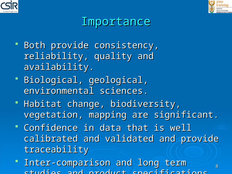
Both provide consistency, reliability, quality and Both provide consistency, reliability, quality and availability.availability.
Biological, geological, environmental sciences.Biological, geological, environmental sciences. Habitat change, biodiversity, vegetation, Habitat change, biodiversity, vegetation,
mapping are significant.mapping are significant. Confidence in data that is well calibrated and Confidence in data that is well calibrated and
validated and provide traceabilityvalidated and provide traceability Inter-comparison and long term studies and Inter-comparison and long term studies and
product specifications are achieved.product specifications are achieved.
The challenges facing calibration and The challenges facing calibration and validationvalidation
99
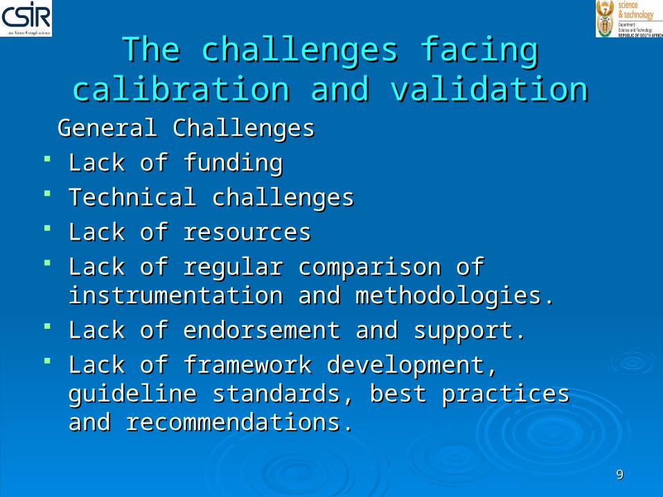
General ChallengesGeneral Challenges Lack of fundingLack of funding Technical challengesTechnical challenges Lack of resourcesLack of resources Lack of regular comparison of instrumentation and Lack of regular comparison of instrumentation and
methodologies.methodologies. Lack of endorsement and support.Lack of endorsement and support. Lack of framework development, guideline Lack of framework development, guideline
standards, best practices and recommendations.standards, best practices and recommendations.
The challenges facing calibration and The challenges facing calibration and validationvalidation
1010
Calibration challenges: Calibration challenges:
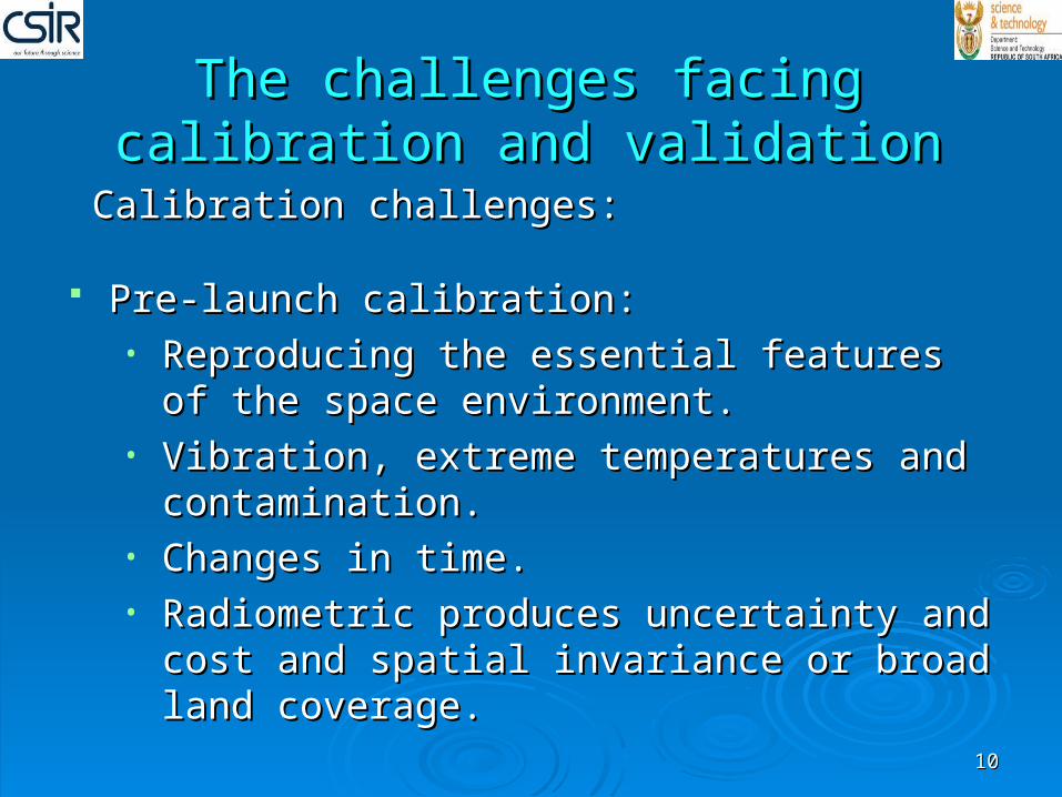
Pre-launch calibration:Pre-launch calibration:• Reproducing the essential features of the space Reproducing the essential features of the space
environment.environment.• Vibration, extreme temperatures and Vibration, extreme temperatures and
contamination.contamination.• Changes in time.Changes in time.• Radiometric produces uncertainty and cost and Radiometric produces uncertainty and cost and
spatial invariance or broad land coverage.spatial invariance or broad land coverage.
The challenges facing calibration and The challenges facing calibration and validationvalidation
1111
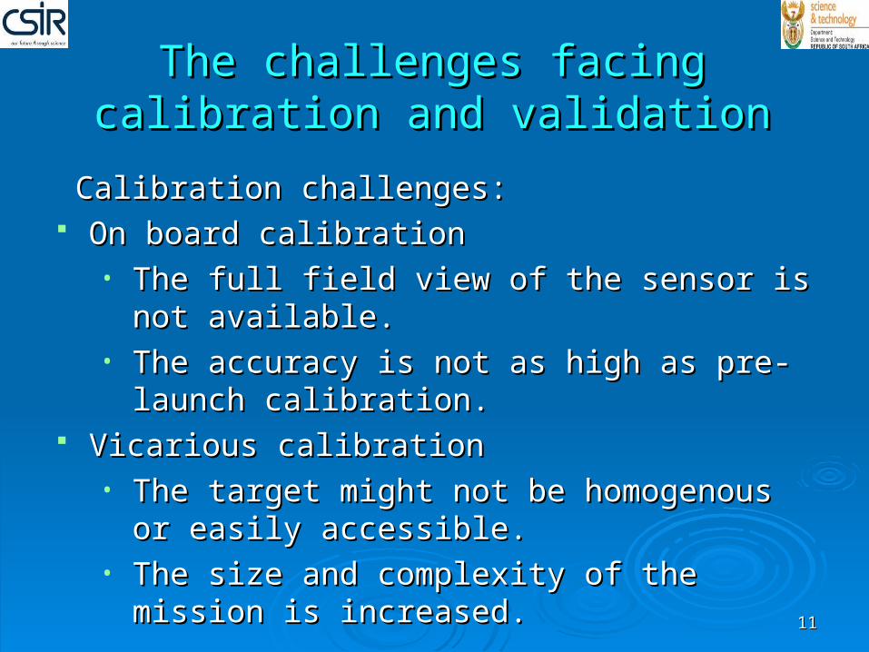
Calibration challenges: Calibration challenges: On board calibrationOn board calibration
• The full field view of the sensor is not available.The full field view of the sensor is not available.• The accuracy is not as high as pre-launch The accuracy is not as high as pre-launch
calibration.calibration. Vicarious calibrationVicarious calibration
• The target might not be homogenous or easily The target might not be homogenous or easily accessible.accessible.
• The size and complexity of the mission is The size and complexity of the mission is increased.increased.
The challenges facing calibration and The challenges facing calibration and validationvalidation
1212
Calibration challenges: Calibration challenges:
Post-launch calibrationPost-launch calibration• Platform may be damaged or degraded in time.Platform may be damaged or degraded in time.• Uncertainty in reliability by neglecting a Uncertainty in reliability by neglecting a
measurement.measurement.• Atmospheric characteristics.Atmospheric characteristics.• Human errors.Human errors.
The technology trends in calibration The technology trends in calibration and validationand validation
1313
Three things that need to be done to improve the Three things that need to be done to improve the technology for the calibration and validation technology for the calibration and validation process:process:
• Instrument CalibrationInstrument Calibration• Instrument ValidationInstrument Validation• Instrument Re-qualificationsInstrument Re-qualifications
The technology trends in calibration The technology trends in calibration and validationand validation
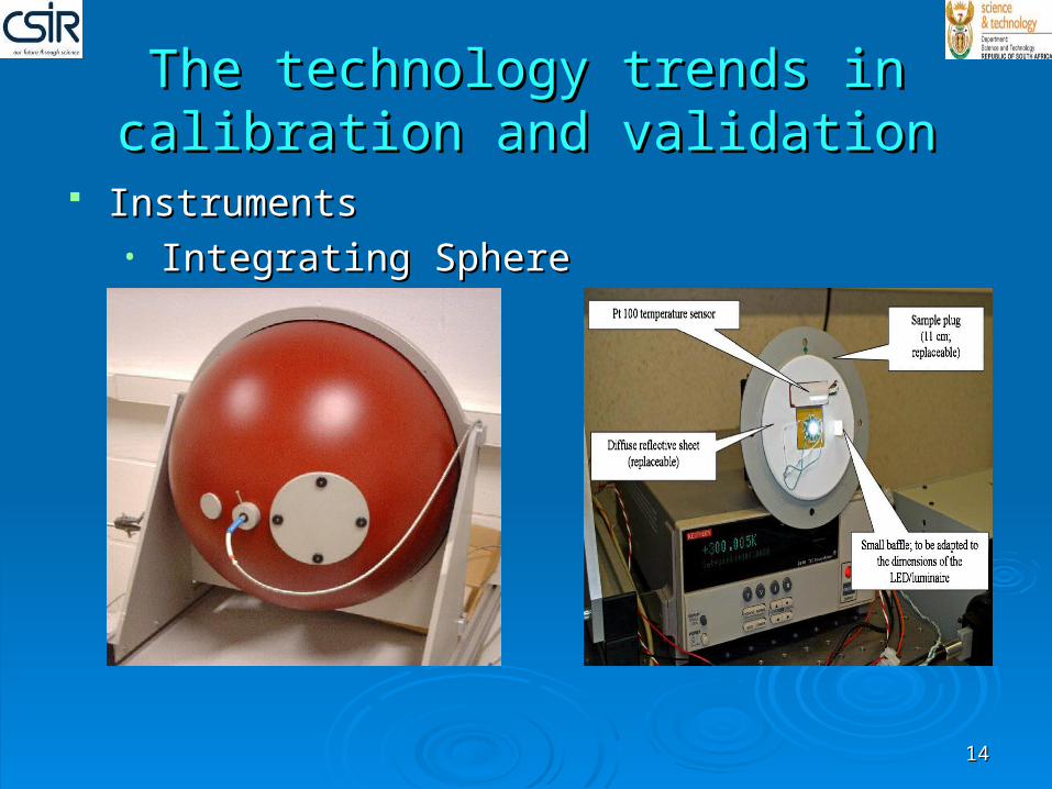
1414
InstrumentsInstruments• Integrating SphereIntegrating Sphere
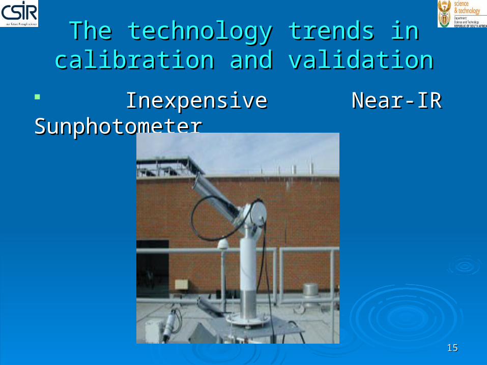
Inexpensive Near-IR SunphotometerInexpensive Near-IR Sunphotometer
The technology trends in calibration The technology trends in calibration and validationand validation
1515
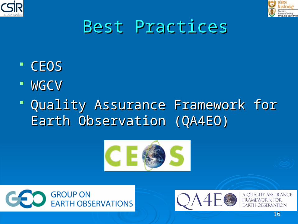
CEOSCEOS WGCVWGCV Quality Assurance Framework for Earth Quality Assurance Framework for Earth
Observation (QA4EO)Observation (QA4EO)
Best PracticesBest Practices
1616
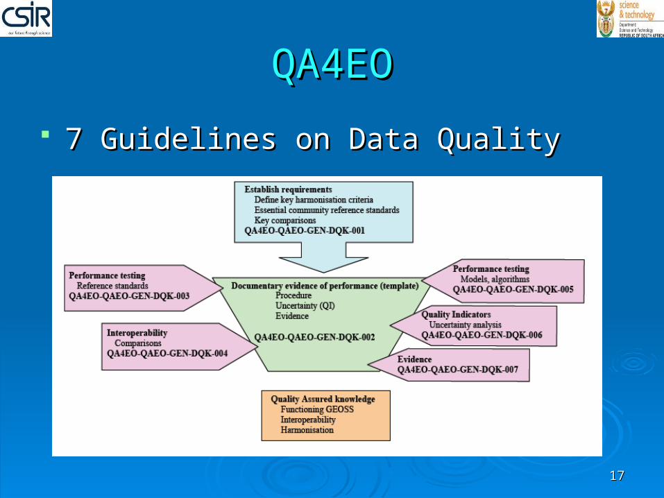
QA4EOQA4EO
7 Guidelines on Data Quality7 Guidelines on Data Quality
1717
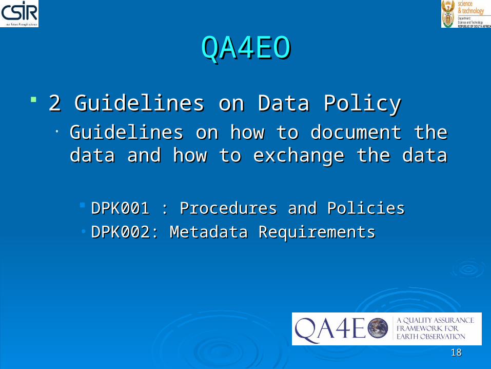
QA4EOQA4EO
2 Guidelines on Data Policy2 Guidelines on Data Policy• Guidelines on how to document the data and Guidelines on how to document the data and
how to exchange the datahow to exchange the data
DPK001 : Procedures and PoliciesDPK001 : Procedures and Policies• DPK002: Metadata RequirementsDPK002: Metadata Requirements
1818
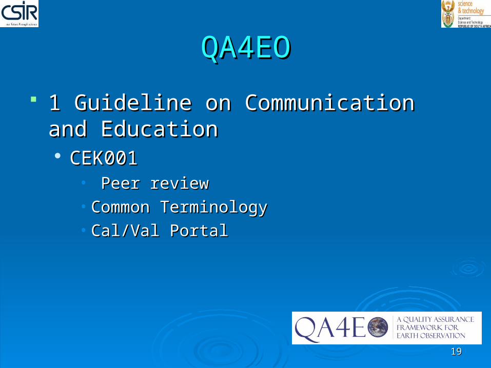
QA4EOQA4EO
1 Guideline on Communication and 1 Guideline on Communication and EducationEducation CEK001CEK001
• Peer reviewPeer review• Common TerminologyCommon Terminology• Cal/Val PortalCal/Val Portal
1919
IVOSIVOS
Chaired by Nigel FoxChaired by Nigel Fox Mission is to monitor the quality of data Mission is to monitor the quality of data
from Infrared and Visible Optical Earth from Infrared and Visible Optical Earth Observation Satellites through the quality Observation Satellites through the quality of calibration and validation and of calibration and validation and international collaborationinternational collaboration
2020
Where to study for CalValWhere to study for CalVal
University of StellenboschUniversity of StellenboschUniversity of Cape TownUniversity of Cape TownUniversity of JohannesburgUniversity of JohannesburgUniversity of KZNUniversity of KZNUniversity of LimpopoUniversity of LimpopoUniversity of Fort HareUniversity of Fort HareUniversity of Venda University of Venda
2121
University of South AfricaUniversity of South AfricaUniversity of Free stateUniversity of Free stateNelson Mandela MetropolitanNelson Mandela MetropolitanRhode UniversityRhode UniversityWits UniversityWits UniversityUniversity of PretoriaUniversity of PretoriaNorth –West UniversityNorth –West University
2222
Career ScopeCareer ScopeStudying Cal/Val can bring different Studying Cal/Val can bring different career opportunities since it is a broad career opportunities since it is a broad field that includes the following:field that includes the following:
•Geoinformation SpecialistGeoinformation Specialist•Image processing researcherImage processing researcher•GIS researcherGIS researcher•Space science facilitatorSpace science facilitator
2323
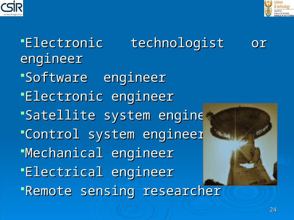
Electronic technologist or engineerElectronic technologist or engineerSoftware engineerSoftware engineerElectronic engineerElectronic engineerSatellite system engineerSatellite system engineerControl system engineerControl system engineerMechanical engineerMechanical engineerElectrical engineerElectrical engineerRemote sensing researcherRemote sensing researcher
2424
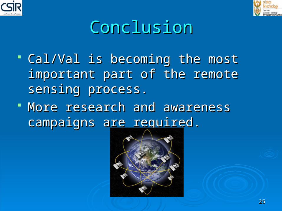
ConclusionConclusion
Cal/Val is becoming the most important Cal/Val is becoming the most important part of the remote sensing process.part of the remote sensing process.
More research and awareness campaigns More research and awareness campaigns are required. are required.
2525
Thank youThank you
Ms M LubbeMs M Lubbe Mr L VhenganiMr L Vhengani Dr M LyskoDr M Lysko Mr D GriffithMr D Griffith Patricia GovenderPatricia Govender CSIRCSIR DSTDST Everyone that has helped us.Everyone that has helped us.
Thank you fo
r your a
ttentio
n.
Any Questi
ons???
2626
Full bibliography is available in the final Full bibliography is available in the final report submitted.report submitted.
BibliographyBibliography
2727