CaBA Lancaster 11 Gauri Kangai Ordnance Survey - Geovation
16
-
Upload
cabasupport -
Category
Environment
-
view
256 -
download
2
Transcript of CaBA Lancaster 11 Gauri Kangai Ordnance Survey - Geovation

Geovation Challenges invite open
collaboration in developing
local innovative solutions
to globally recognised problems
using
design thinking
and
geographic information
2
© Geovation Hub 2015 22/10/2015 17:40:14
3
Geography is important because everything happens somewhere!
Every phenomenon on Earth has a unique relationship with place and geography links people,
place, processes (natural and man-made) and planet.
© Geovation Hub 2015 22/10/2015 17:40:14

4
© Geovation Hub 2015 22/10/2015 17:40:14
‘How can we improve water use in Britain, sustainably?’

5
Geovation Challenge process
November 25
CHALLENGE LAUNCH
All entries welcome
November-February
PROBLEM CAFÉS ANDTECHNICAL WORKSHOPS
To assist participants in creating relevant ideas & how geographic information (GI) can assist
March 2016
CHALLENGE CAMP: Ideas > prototype > potential market ventures
May onwards
GEOVATION PROGRAMME
Possibility to win place on Geovation’s accelerator programme
© Geovation Hub 2015 22/10/2015 17:40:14
6
© Geovation Hub 2015 22/10/2015 17:40:14
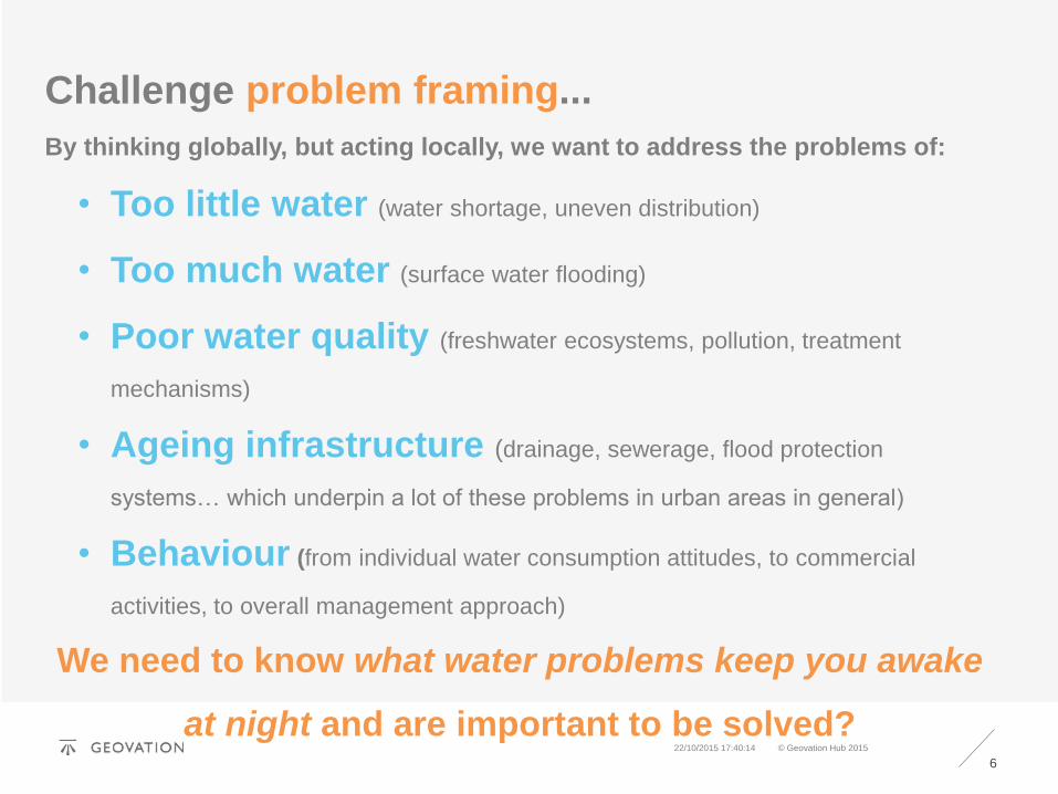
Challenge problem framing...
By thinking globally, but acting locally, we want to address the problems of:
• Too little water (water shortage, uneven distribution)
• Too much water (surface water flooding)
• Poor water quality (freshwater ecosystems, pollution, treatment
mechanisms)
• Ageing infrastructure (drainage, sewerage, flood protection
systems… which underpin a lot of these problems in urban areas in general)
• Behaviour (from individual water consumption attitudes, to commercial
activities, to overall management approach)
We need to know what water problems keep you awake
at night and are important to be solved?

7
© Geovation Hub 2015 22/10/2015 17:40:14
OS Water Products & Services...
Can be found here: ordnancesurvey.co.uk/business-and-
government/products/finder.html

8
© Geovation Hub 2015 22/10/2015 17:40:14
Using OS and open data…Data source Dataset Theme
Ordnance Survey LocalTerrain 50Rivers
Topography (Open)
Vector Map LocalTerrain 5Water Network
Topography (Premium)
Boundary LineAddress Base
Administrative (Open)
AddressBasePlaces
Administrative (Premium)Consumer indications
Environment Agency River basin districts Administrative
Catchment management areasAgricultural land useLIDAR/land cover
Topography
Water resource availability (sub-catchment level)Water abstraction by purposeWaterbody ecological status
Resource statistics
Flood risk zones Risks

9
Using OS and open data…
Data source Dataset Theme
Defra/JNCC(INSPIRE data.gov)
Habitats and speciesBathing waters
Ecology
Forestry Commission National forests Ecology
Waterfootprint.org Crop (food) water foot prints by local authority Resource statistics
ONS Resident population by sub-wardWork place population by wardHouseholds by sub-ward
Demographic statisticsConsumer indications
CEH Hydrology e.g. catchment chemistryLand use
Resource statisticsInfrastructural indications
BGS Geology and hydrology e.g. groundwater, soils Resource statistics
Met Office Weather prediction modelsObservational dataRainfallSatellite data
Weather (DataPoint API)
Regional… e.g.London Datastore(Greater London Authority)
London water quality by borough Resource statistics
© Geovation Hub 2015 22/10/2015 17:40:14
10
© Geovation Hub 2015 22/10/2015 17:40:14
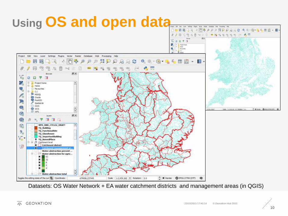
Using OS and open data…
Datasets: OS Water Network + EA water catchment districts and management areas (in QGIS)

11
Using OS and open data…
Datasets: OS Local and Water Network + EA flood risk zones and water catchment management
areas
© Geovation Hub 2015 22/10/2015 17:40:14

12
Using OS and open data…
Datasets: OS Boundary Line + EA waterbody ecological status and catchment management areas
© Geovation Hub 2015 22/10/2015 17:40:14

13
© Geovation Hub 2015 22/10/2015 17:40:14
Using OS and open data…
Datasets: OS Local and Water Network + ONS Wards + GLA London water quality by borough

14
© Geovation Hub 2015 22/10/2015 17:40:14
Water Problem Defining:
Problem title
Can you give your problem a snappy 3-word title?
Who does the problem affect?
Where does it happen?
What is the problem?
Can you clearly and concisely explain what the problem is?
Why does it matter?
Can you quantify/substantiate why the problem is worth solving

15
© Geovation Hub 2015 22/10/2015 17:40:14
Contact us via Geovation:
Gauri Kangai
&
Challenge Team

16
© Geovation Hub 2015 22/10/2015 17:40:14
THANK YOU
www.geovation.uk