Bound for South Australia 1836 Commodious Harbour Week 40 Cruickshanks Panorama photograph by...
16
Bound for South Australia 1836 Commodious Harbour Week 40 Cruickshanks Panorama photograph by Captain Samuel Sweet, mid 1879
-
Upload
billy-elley -
Category
Documents
-
view
222 -
download
1
Transcript of Bound for South Australia 1836 Commodious Harbour Week 40 Cruickshanks Panorama photograph by...
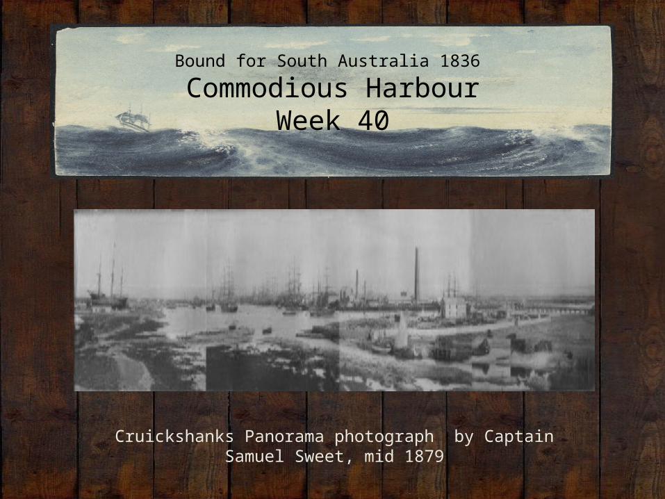
Bound for South Australia 1836
Commodious HarbourWeek 40
Cruickshanks Panorama photograph by Captain Samuel Sweet, mid 1879
Overview
Between February and July 1836 nine ships left Britain bound for the newly created province of South Australia. On-board the ships were passengers who over many long months braved the perils of the ocean, including some of the most treacherous seas in the world to begin a new life on the other side of the world.
This resource uses the stories from these nine ships as recorded by the passengers and crew in their personal journals.
Contents
• Introduction• Journal entries• Inquiry Questions• Relevant images • Glossary of Terms
Introduction
After long journeys, many of our vessels have reached the shores of SouthAustralia. This week we read of Colonel Light identifying the harbour thatwould become Port Adelaide. As we know, the coastline and environmentlooked very different in 1836 compared to today. It is hard to imagine the PortAdelaide area as marsh and swamp, with an abundance of flies andmosquitos. This was yet another challenge for our migrants. This week weexamine the significance of the Port Adelaide area for these early Englishmigrants and learn about how it continues to be an important region forSouth Australians today.
Journals from settlers in South Australia:Sunday 20 November 1836
William Light, who arrived in South Australia on board the Rapid wrote:
20 November-Early part employed finishing our letters for England, at noon sent them on board the Africaine, and immediately after got under way for the creek… At six p.m. we came to anchor in the first reach in the creek, and all hands were overjoyed at the little brig’s berth, in so snug a spot in this hitherto unknown anchorage.
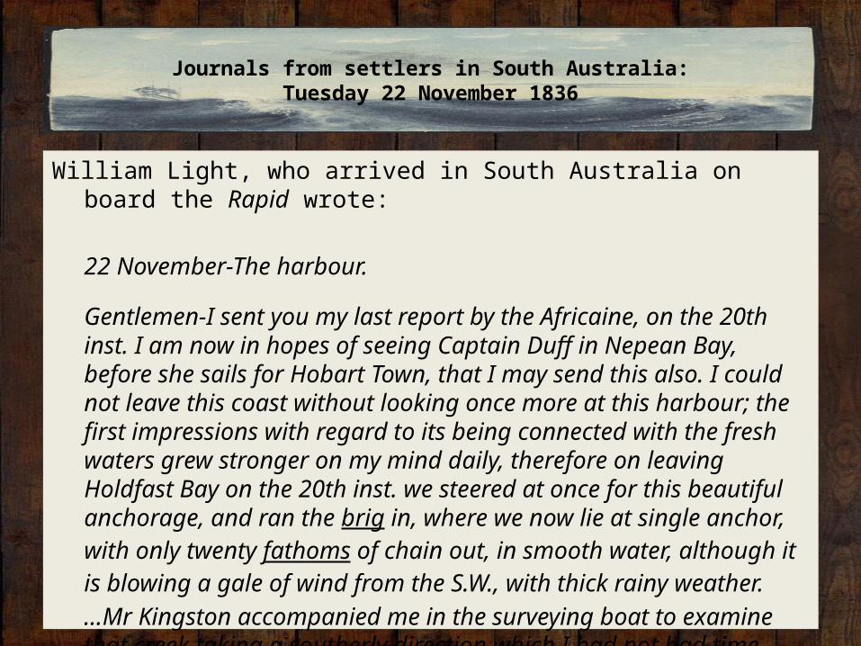
William Light, who arrived in South Australia on board the Rapid wrote:
22 November-The harbour.
Gentlemen-I sent you my last report by the Africaine, on the 20th inst. I am now in hopes of seeing Captain Duff in Nepean Bay, before she sails for Hobart Town, that I may send this also. I could not leave this coast without looking once more at this harbour; the first impressions with regard to its being connected with the fresh waters grew stronger on my mind daily, therefore on leaving Holdfast Bay on the 20th inst. we steered at once for this beautiful anchorage, and ran the brig in, where we now lie at single anchor, with only twenty fathoms of chain out, in smooth water, although it is blowing a gale of wind from the S.W., with thick rainy weather.…Mr Kingston accompanied me in the surveying boat to examine that creek taking a southerly direction which I had not had time before to look at carefully…
Journals from settlers in South Australia:Tuesday 22 November 1836
We were more than delighted to find it running into the plain at such a distance, and I am now more than ever persuaded that it is connected with the fresh water lakes; if not, it extends to within a couple of miles of them, and one of the finest little harbours I ever saw is now fairly known; we had, as you will see, three fathoms water, and very often four at dead low water, at five or six miles from where the brig was at anchor. In the rough plan I send you I have put down all my views as to the Harbour and plain, and although my duty obliges me to look at other places first before I fix on the capital, yet I feel assured, as I did from the first, that I shall only be losing time. The eastern coast of Gulf Saint Vincent is the most eligible, if a harbour could be found that harbour is now found-more extensive, safe, and beautiful, than we could even have hoped for…I have never seen a harbour so well supplied with little creeks that would answer for ship building as this. We want some small craft sadly, from forty, fifty, sixty, or even one hundred tons; they would soon pay for themselves as the colony increases. A few horses are much wanted vehicles are absolutely necessary, work cannot go on without them.
Wednesday 23 November 1836
William Light, who arrived in South Australia on board the Rapid wrote:
23 November-I have this day been taking more angles on shore to ascertain the direction of the harbour, but find they differ so little from the first that it is not worthwhile altering until an accurate trigonometrical survey commences. You are, I hope, aware that all my plans hitherto have been done from hasty angles by theodolites , bearings by pocket compass, and in many cases estimated distances, for I have done them frequently alone and with interruption of bad weather; but I am quite sure they are more than sufficiently accurate to give you a better idea of the coast than any former chart, and quite enough for any ship to sail by. While employed on shore, I requested Mr Field to lay down a buoy at the end of each spit forming the mouth of this harbour-and I hope in a short time to be able to take all ships coming here into as beautiful and safe a harbour as the world can produce. We want a mud boat also to deepen the channel for large ships drawing more than seventeen feet water. If we consider these
channels to have remained with three fathoms at high water for ages with the natural drainings from the land, a little human industry may render these parts as deep as the rest, particularly as they extend but a short distance. There is another and a stronger reason than all for this idea-I have observed the ebb tide runs much stronger than the flood, a proof that the harbour is supplied from more than the flowing of the sea. Yesterday in the gale, with twenty fathoms of cable, the ship rode to the tide the whole time with the wind right up.
Thursday 24 November 1836
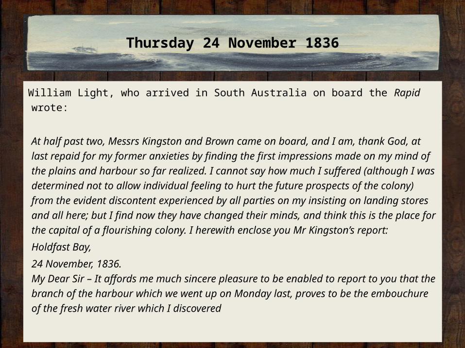
William Light, who arrived in South Australia on board the Rapid wrote:
At half past two, Messrs Kingston and Brown came on board, and I am, thank God, at last repaid for my former anxieties by finding the first impressions made on my mind of the plains and harbour so far realized. I cannot say how much I suffered (although I was determined not to allow individual feeling to hurt the future prospects of the colony) from the evident discontent experienced by all parties on my insisting on landing stores and all here; but I find now they have changed their minds, and think this is the place for the capital of a flourishing colony. I herewith enclose you Mr Kingston’s report:
Holdfast Bay,
24 November, 1836.My Dear Sir – It affords me much sincere pleasure to be enabled to report to you that the branch of the harbour which we went up on Monday last, proves to be the embouchure of the fresh water river which I discovered
the day after we had landed here, and which, as far as I have been able to see it, I am induced to believe, rises at the foot of Mount Lofty. I landed on Tuesday from the hatch-boat , about a mile further north than we did the day previous, and proceeded as close to the banks as the mangroves would allow. About a quarter of a mile from where I landed, we crossed a creek from the eastward about fifteen yards wide and three feet deep; in the course of the day we crossed several other small ones, in all of which the water was salt. After proceeding on nearly a due southerly course, I found the water in the middle of the river nearly fresh (we had used much worse at Nepean Bay), and about a mile further perfectly so. Mount Lofty bearing E.50 S. I kept along the banks of the river, still running from the south, about two miles-when I think it had its source in the marshes, in which I found the river before alluded to, losing itself… [H]aving first crossed the river running down from Mount Lofty, my road for about six miles was across a plain of exceedingly fine land; I again traced the plain and then kept on its edge, being all along able to trace the course of the river through the reeds, until I found it again running through a regular bed. The river, although in parts shallow and much obstructed by fallen tea trees, would be navigable for flat-bottomed boats as far as the marshes, through which a regular communication with the upper part of it
can easily be made. A very large body of water must come down the river in the winter, as in the upper part where the banks are thirty feet deep, there are evident marks of the floods reaching the top. I now feel assured that we have obtained sufficient information to convince the most sceptical of the great value and eligibility of these plains-possessing as they do, abundance of fresh water, an excellent harbour, with at least one river into it, which can easily be made eligible as a mode of communication between it and the plains.
Believe me, Sir,Yours, most sincerely,G. S. Kingston.
Saturday 26 November 1836
Dr John Woodforde, who arrived in South Australia on board the Rapid wrote:
The “Rapid” hove in sight at 7 a.m. this morning and came to anchor at 3 p.m. Captain Light, Pullen and Claughton came on shore to dinner and informed us that there is every probability of the Capital being formed at Holdfast Bay, as, during the last cruize, many paramount advantages have been found, viz. the creek higher up forms a most splendid harbour ending in fresh water streams, one of which having from two to four fathoms in it. It extends to within six miles of [the] Capital.
Inquiry Questions
• What factors influenced the choice of location for South Australia’s main harbour?
• How did the harbour of Port Adelaide operate in the early years of European settlement?
• How have imports and exports into South Australia changed since 1836?
• What is the significance of the Port Adelaide area for the Aboriginal people?
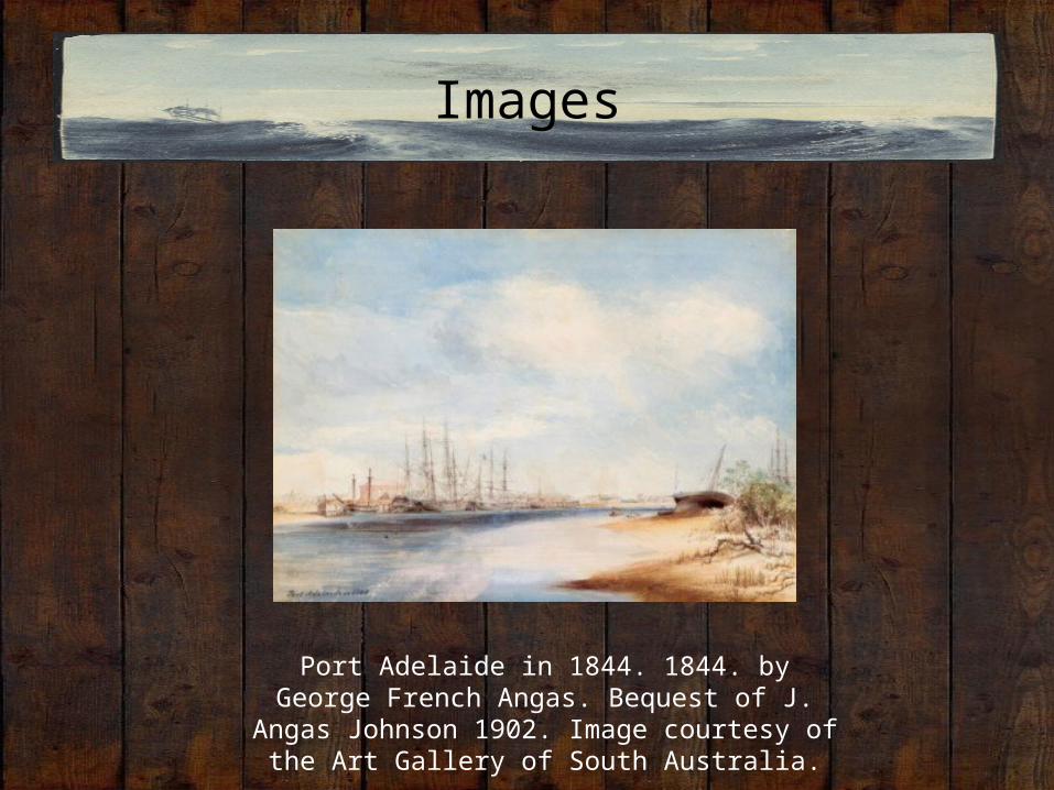
Images
Port Adelaide in 1844. 1844. by George French Angas. Bequest of J. Angas Johnson 1902. Image courtesy of
the Art Gallery of South Australia.
Glossary of Terms
brig’s• A sailing vessel with two square-rigged masts. Ebb tide • is the period when the water is falling and a current is running from the river into the ocean.fathoms• A fathom is a measure of depth in the imperial system. One fathom is equal to six feet or 1.83
metres. hatch-boat• A class of net fishing boats used on the Thames estuary. The Rapid’s boat was built specially for
the Colonization Commissioners by W.T. Gulliver of Wapping. Theodolites• A precision instrument for measuring angles in the horizontal and vertical planes.