Beneath Melbourne's Surface: Urban Hydrology & Utility Easements
20
Beneath Melbourne's Surface: Urban Hydrology & Utility Easements Tony Smith for representatives of Community Coalition against East West Link at meeting hosted by the Kensington Association, 2nd May 2015
-
Upload
tony-smith -
Category
Engineering
-
view
54 -
download
6
Transcript of Beneath Melbourne's Surface: Urban Hydrology & Utility Easements

Beneath Melbourne's Surface:Urban Hydrology & Utility Easements
Tony Smithfor representatives of Community Coalition against East West Linkat meeting hosted by the Kensington Association, 2nd May 2015

Where the rainfall goes
Indicative numbers only, location dependent
Undisturbed natural
vegetation
Dense urbanisation roofs & roads
Evaporationincluding
transpiration60% 20%
Absorption into soil and groundwater
30% 10%
Surface runoff 10% 70%

Moonee Ponds Creek c. 1900

Moonee Ponds Creek 2013

• Melbourne Metropolitan Board of Works
• Flood and erosion avoidance priority
• Straighten and line waterways, retarding basins
• Melbourne Water: Healthy Waterways
• Slow, treat and store stormwater
• Litter traps, sedimentation ponds
• Rain gardens, leaky tanks, grey watering
• Daylighting long buried waterways aka drains
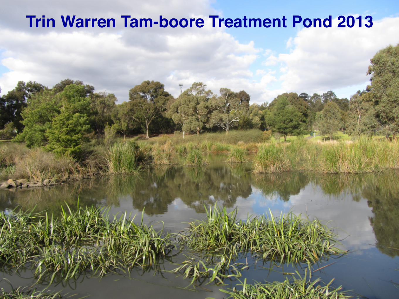
Trin Warren Tam-boore Treatment Pond 2013

Low point for surface permeabilitycnr. Kings Road & Calder Freeway

A year before I would be born, Stoney Creekflooded the McKay Sunshine Harvester factory.
Images © Museum Victoria

Forgotten Easements

• Loss of institutional memory
• Council amalgamations, utility corporatisation
• The Map isn't the Territory and is likely missing
• Knowledge in community, getting old, moving on
• Service corridor opportunities and costs
• Aqueducts, local storage, water mains
• Road reserves from creeks to power easements
• Separation of sewerage and stormwater
• Rail trails, telecoms, gas mains, petrochem

Community Knowledge Mobilisation (2010 proposal)

Rose Avenue footbridge above water main

Post war aerial photo maps• http://1945.melbourne great
resource for heritage check
• Masterplan process for Five Mile Creek Reserve
• Large meander on Moonee Ponds Creek bypassed
• Also revealed gas main and sewer main alignments
• not to be built over
• Both on appropriately named Government Road Moreland Road
Pascoe Vale Road

Strathmore Bypass anticipated Tullamarine Freeway

Documentation as a snapshot of intentions

VicRoads cling to E14 reservation betweenimprobable Western Ring Road junction
and Aitken Boulevard, Craigieburn.

⬆ Postscripts to presentation against separate Geelong planning ⬆⬇ Encoding the Map when it’s out in the Territory ⬇

Not quite The End


Additional Notes• Nepean Bay Bar kept Port Phillip dry before c.1000 A.D.
• ref: G. R. Holdgate, B. Wagstaff & S. J. Gallagher 2011 • After 1946 flooding of Sunshine Harvester factory:
• St Albans branch of Stony Creek diverted into Kororoit • Sunshine North branch diverted into Maribyrnong
• Strathmore community action achieved: • Tulla Fwy route diverted from Loeman St Community Centre • concrete lining Moonee Ponds Creek stopped behind
Strathmore North Primary School • E14 reservation Napier St to Ring Road deleted, sold off
• Shallow V concrete lining south of Ormond Road superseded by rectangular concrete channel during City Link construction
• Melbourne Water main replacement temporary removal of Rose Avenue footbridge when bridge upgrade needed to suit trail