Base mapping lira
13
Base mapping Lira Week 2 Base Mapping
Transcript of Base mapping lira

Base mapping Lira
Week 2 Base Mapping

Measurements
I started with google earth but ended up having to do the measurements myself due to small inconsistencies when I was trying to transfer it to paper.

Rough Draft
We did this on the back of a notecard ended up having to change and redo most of the footage since this was all done with google earth.

Street and sidewalks
I started off with the intersection next to my house. It worked as a baseline to double check everything I did afterwards.

Fence
While I was working on the fence I ran into the first hurdle. I noticed that my lot was not straight on with the road. It was more at an angle since the back fence was 63 ft and the front was 86 ft.

Sidewalk part 2
I had to adjust the curve since the lot was slanted it was throwing off all my measurements.

The house was also slanted on the lot. It took me a few tries to get the proper angle of the east wall.
Legend
Made a legend, based it off construction diagrams. Pretty simple, didn’t have a lot to mark in the yard just a patio, some tress and bushes a telephone pole and a cable drop.
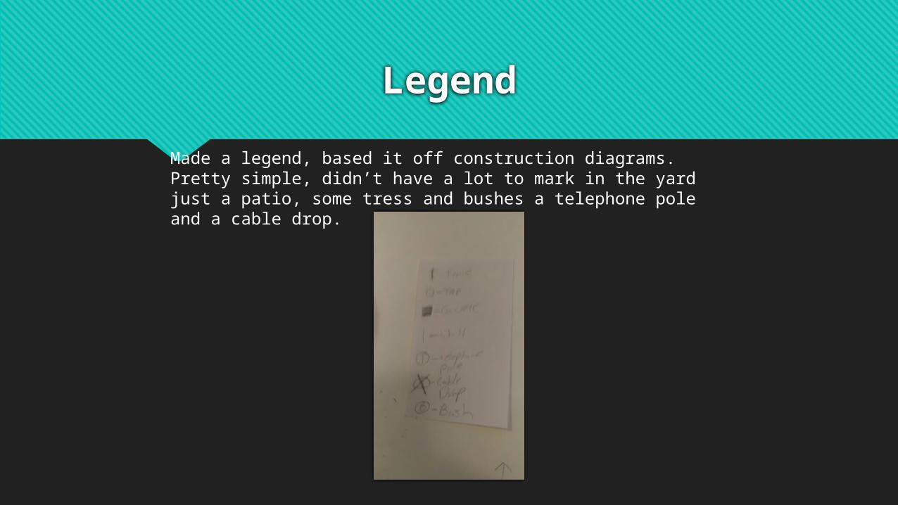
Backyard items
Had to add the patio, the fence around the patio, the tree, telephone pole and cable drop.

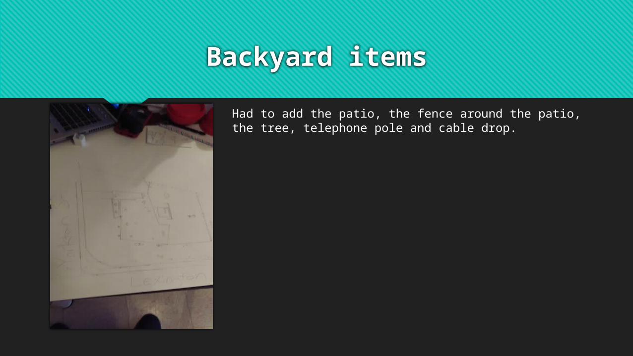
Final Product

The House
Conclusion
In conclusion, I found this project challenging. I found myself constantly double checking my measurements on paper and then redoing them in my backyard to make sure they were precise. We would of had a lot of area to work with had we owned the property but since we rent we are limited to what we can build in raised garden beds. We are currently working on a future garden bed to raise our crop since we cannot dig into the soil. I found this diagram useful for planning my future homestead including my garden bed and livestock I plan to raise.