Balochistan irrigation System
12
BALOCHISTAN IRRAGATION SYSTEM Abdullah Khan Centre For Integrated Mountain Research
-
Upload
abdullah-khan -
Category
Environment
-
view
86 -
download
0
Transcript of Balochistan irrigation System
BALOCHISTAN IRRAGATION SYSTEM Abdullah Khan
Centre For Integrated Mountain Research
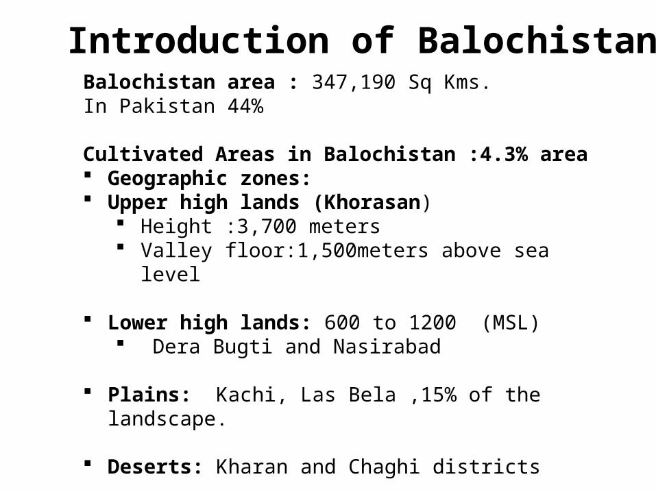
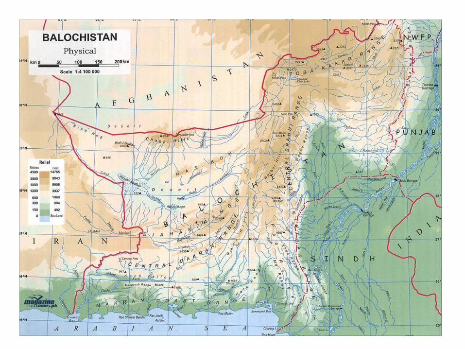
Balochistan area : 347,190 Sq Kms. In Pakistan 44%
Cultivated Areas in Balochistan :4.3% area Geographic zones: Upper high lands (Khorasan)
Height :3,700 meters Valley floor:1,500meters above sea level
Lower high lands: 600 to 1200 (MSL) Dera Bugti and Nasirabad
Plains: Kachi, Las Bela ,15% of the landscape.
Deserts: Kharan and Chaghi districts
Introduction of Balochistan
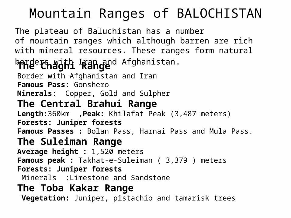
Mountain Ranges of BALOCHISTANThe plateau of Baluchistan has a number of mountain ranges which although barren are rich with mineral resources. These ranges form natural borders with
Iran and Afghanistan.
The Chaghi RangeBorder with Afghanistan and IranFamous Pass: GonsheroMinerals: Copper, Gold and Sulpher
The Central Brahui RangeLength:360km ,Peak: Khilafat Peak (3,487 meters)Forests: Juniper forestsFamous Passes : Bolan Pass, Harnai Pass and Mula Pass.
The Suleiman RangeAverage height : 1,520 meters Famous peak : Takhat-e-Suleiman ( 3,379 ) meters Forests: Juniper forests Minerals :Limestone and Sandstone
The Toba Kakar Range Vegetation: Juniper, pistachio and tamarisk trees
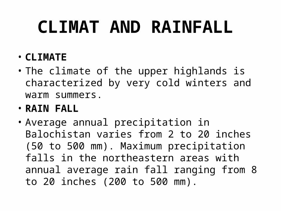
CLIMAT AND RAINFALL
• CLIMATE• The climate of the upper highlands is characterized
by very cold winters and warm summers.• RAIN FALL• Average annual precipitation in Balochistan varies
from 2 to 20 inches (50 to 500 mm). Maximum precipitation falls in the northeastern areas with annual average rain fall ranging from 8 to 20 inches (200 to 500 mm).
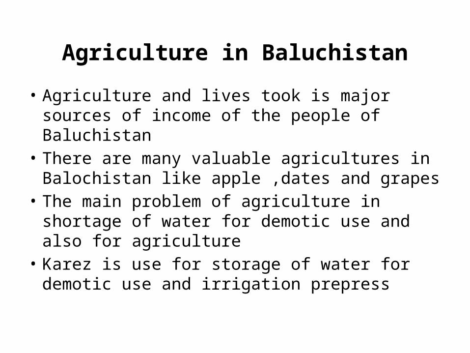
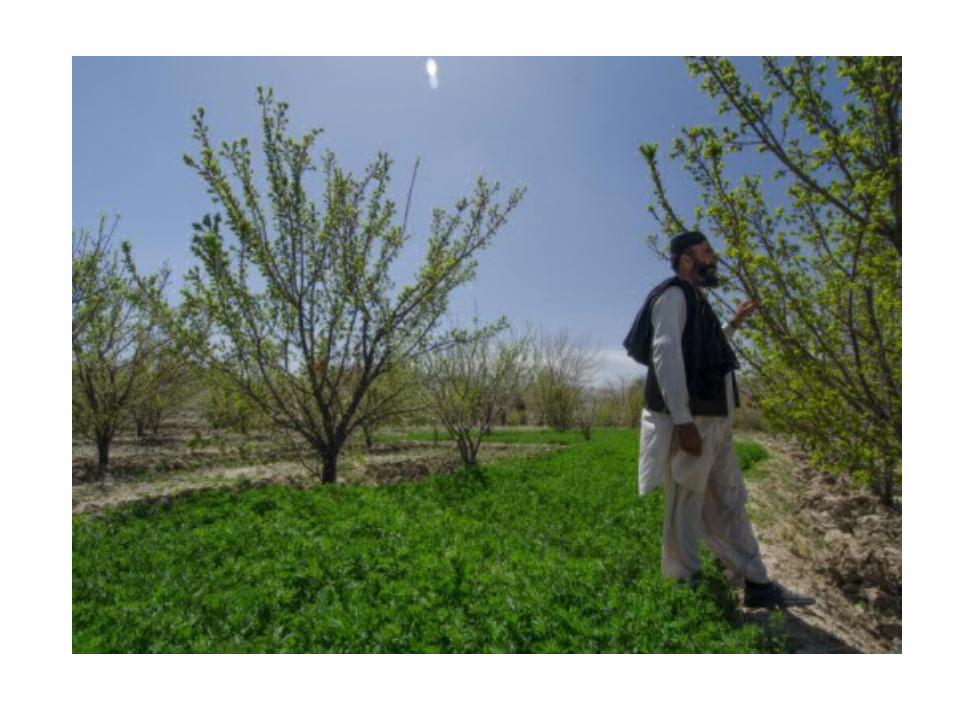
Agriculture in Baluchistan
• Agriculture and lives took is major sources of income of the people of Baluchistan
• There are many valuable agricultures in Balochistan like apple ,dates and grapes
• The main problem of agriculture in shortage of water for demotic use and also for agriculture
• Karez is use for storage of water for demotic use and irrigation prepress
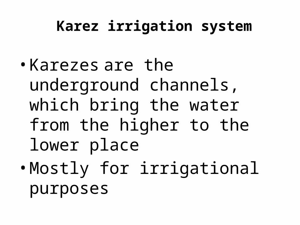
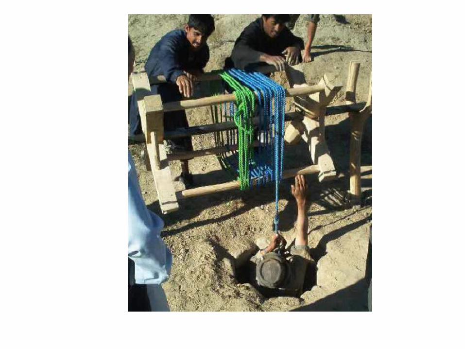
Karez irrigation system
• Karezes are the underground channels, which bring the water from the higher to the lower place• Mostly for irrigational purposes
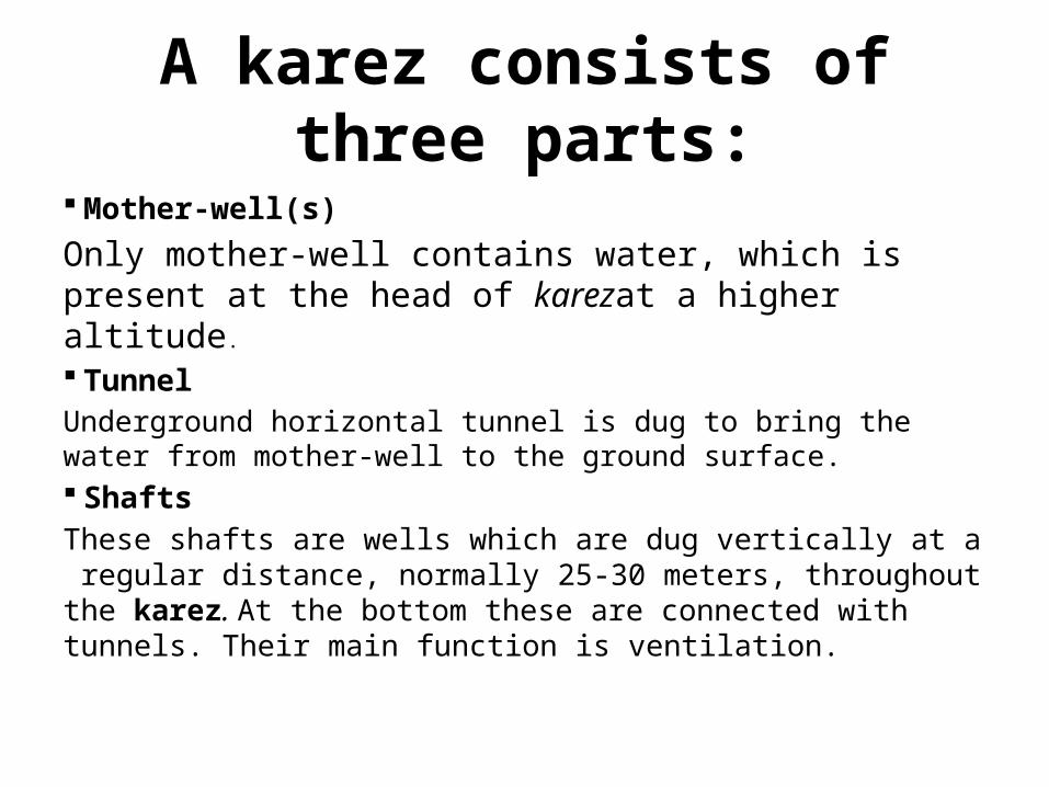
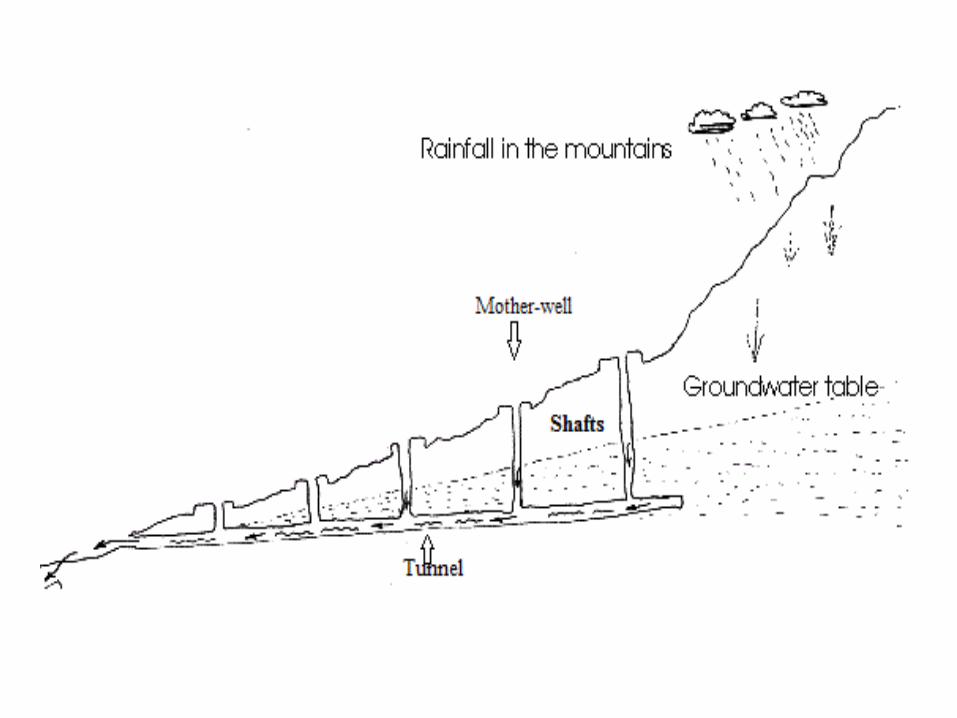
A karez consists of three parts:
Mother-well(s)
Only mother-well contains water, which is present at the head of karezat a higher altitude.
TunnelUnderground horizontal tunnel is dug to bring the water from mother-well to the ground surface. ShaftsThese shafts are wells which are dug vertically at a regular distance, normally 25-30 meters, throughout the karez. At the bottom these are connected with tunnels. Their main function is ventilation.
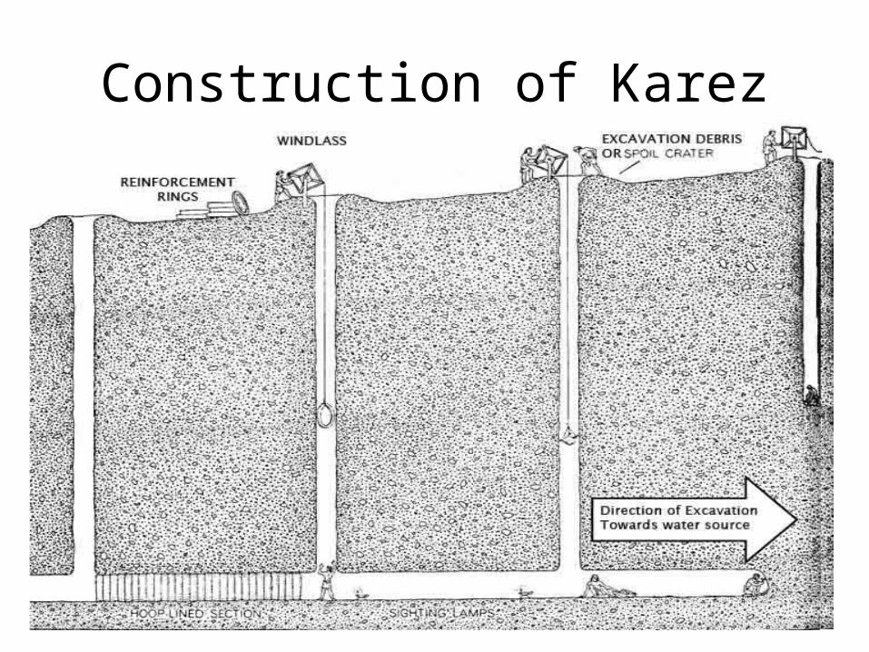
Construction of Karez