
An Overview of the SAND spatial Database System Claudio Esperanca Hanan Samet Presented By Gautam...
21
An Overview of the SAND spatial Database System Claudio Esperanca Hanan Samet Presented By Gautam Shanbhag
-
date post
22-Dec-2015 -
Category
Documents
-
view
221 -
download
0
Transcript of An Overview of the SAND spatial Database System Claudio Esperanca Hanan Samet Presented By Gautam...
An Overview of the SAND spatial Database System
Claudio EsperancaHanan Samet
Presented ByGautam Shanbhag
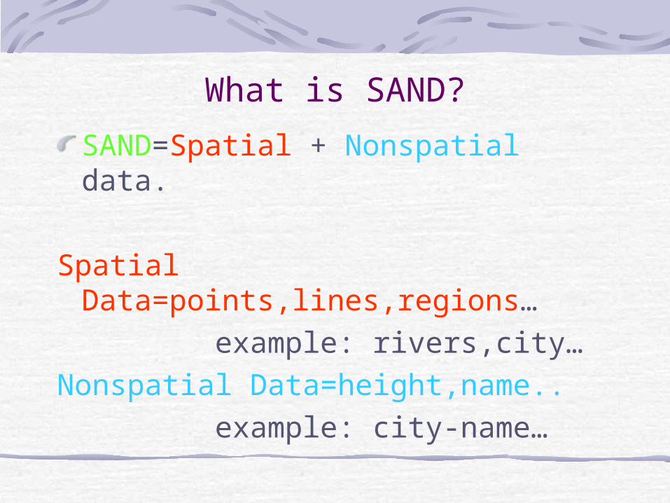
What is SAND?
SAND=Spatial + Nonspatial data.
Spatial Data=points,lines,regions… example: rivers,city…Nonspatial Data=height,name.. example: city-name…
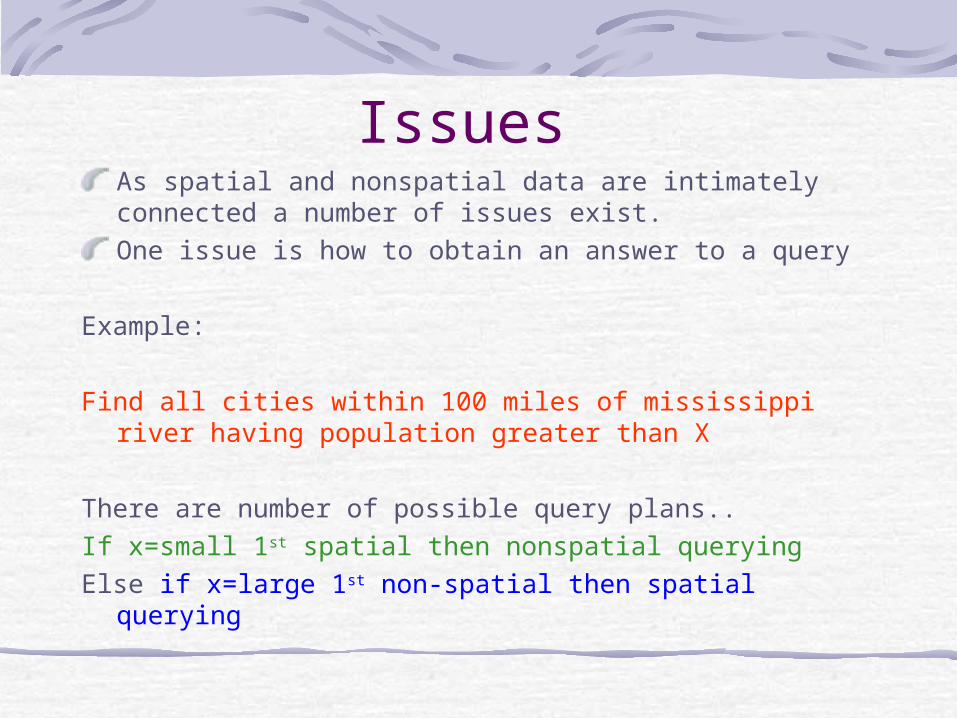
Issues As spatial and nonspatial data are intimately connected a number of issues exist.One issue is how to obtain an answer to a query
Example:
Find all cities within 100 miles of mississippi river having population greater than X
There are number of possible query plans..If x=small 1st spatial then nonspatial queryingElse if x=large 1st non-spatial then spatial querying
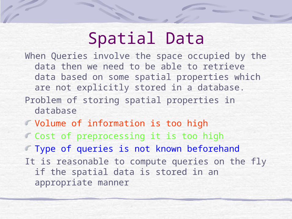
Spatial DataWhen Queries involve the space occupied by the
data then we need to be able to retrieve data based on some spatial properties which are not explicitly stored in a database.
Problem of storing spatial properties in databaseVolume of information is too highCost of preprocessing it is too highType of queries is not known beforehand
It is reasonable to compute queries on the fly if the spatial data is stored in an appropriate manner
Storing Spatial DataIn order to deal with proximity and range
queries,the data must be sorted.Data is sorted on the space occupied by the data
Conventional DBMS use other keys such as distance from a location to sort the data.
This is useless for spatial data.
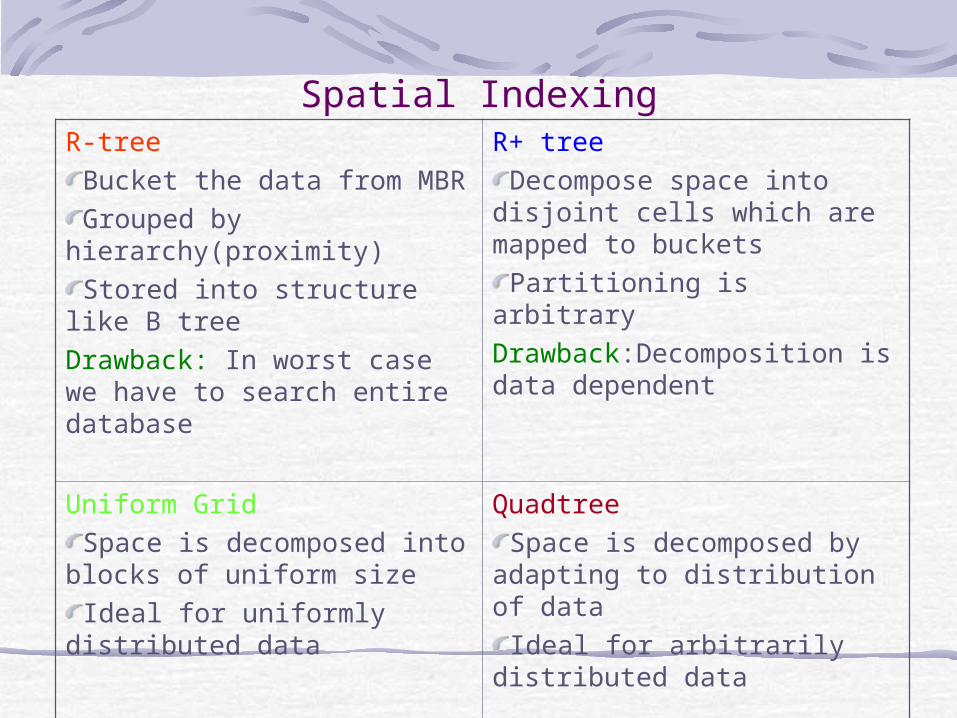
Spatial IndexingR-tree
Bucket the data from MBRGrouped by
hierarchy(proximity)Stored into structure like B
treeDrawback: In worst case we have to search entire database
R+ treeDecompose space into
disjoint cells which are mapped to buckets
Partitioning is arbitraryDrawback:Decomposition is data dependent
Uniform GridSpace is decomposed into
blocks of uniform sizeIdeal for uniformly
distributed data
QuadtreeSpace is decomposed by
adapting to distribution of data
Ideal for arbitrarily distributed data
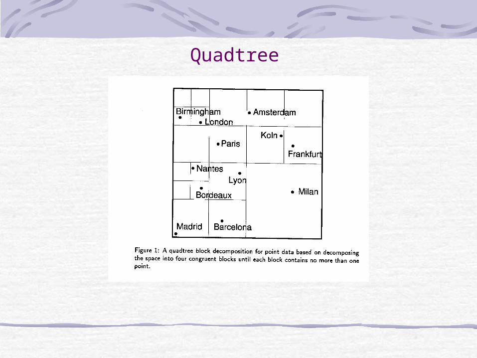
Quadtree
SAND system requirementsA database engine capable of storing and retrieving both conventional and spatial dataAccess methods suitable for indexing and sorting conventional and spatial dataA software library for computing spatial operations,such as distance between two pointsA GUI toolkit for displaying the queriesA way of combining these into query evaluation plans
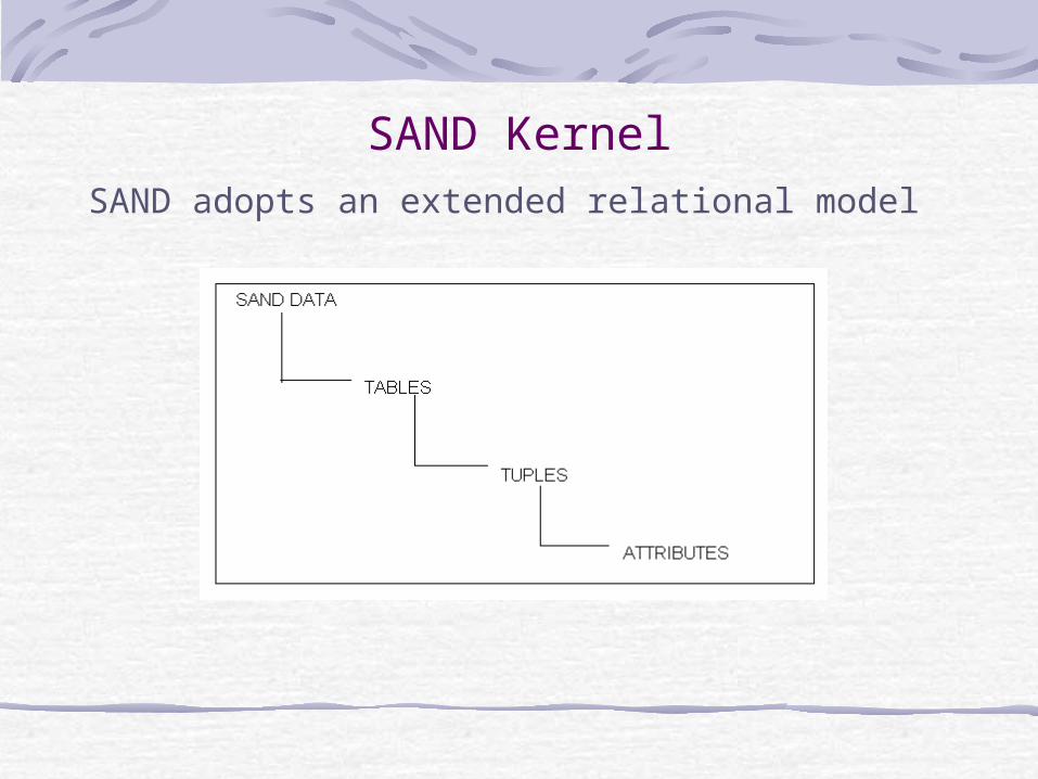
SAND KernelSAND adopts an extended relational model
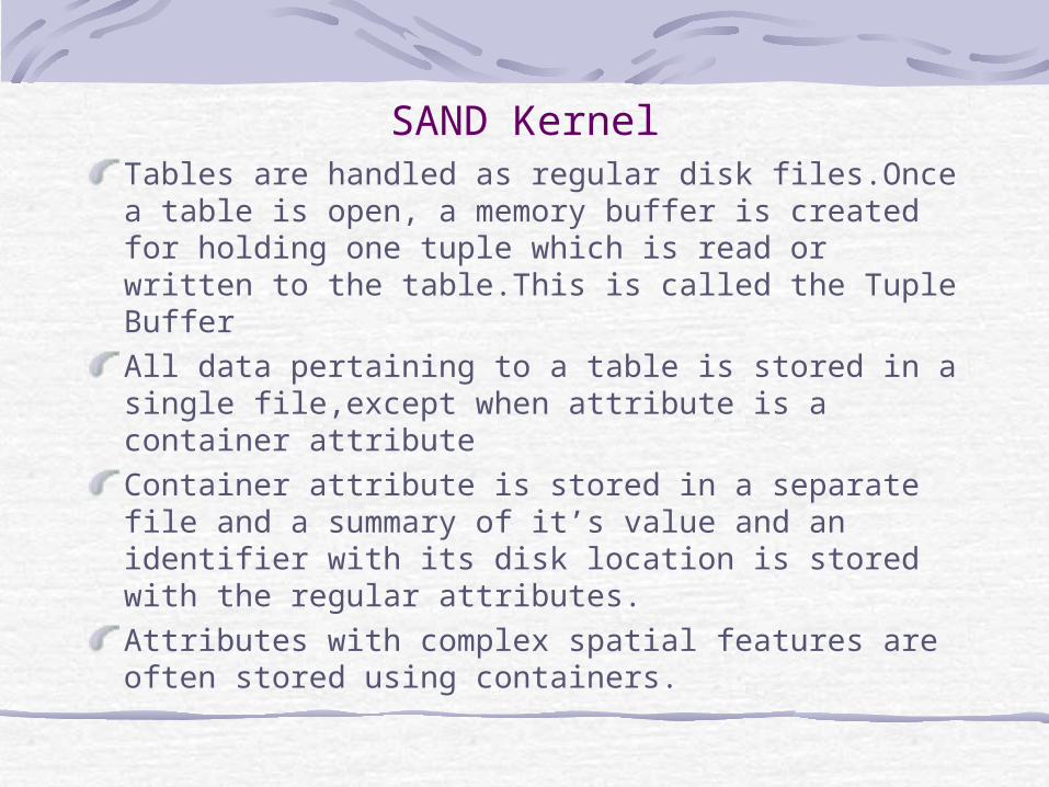
SAND KernelTables are handled as regular disk files.Once a table is open, a memory buffer is created for holding one tuple which is read or written to the table.This is called the Tuple BufferAll data pertaining to a table is stored in a single file,except when attribute is a container attributeContainer attribute is stored in a separate file and a summary of it’s value and an identifier with its disk location is stored with the regular attributes.Attributes with complex spatial features are often stored using containers.
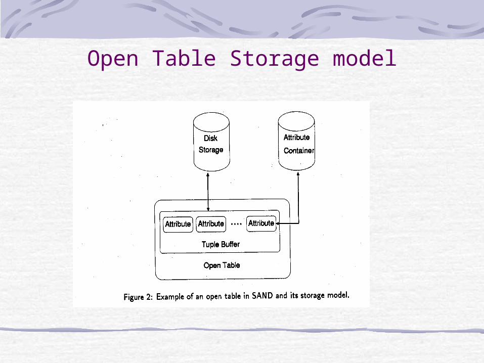
Open Table Storage model
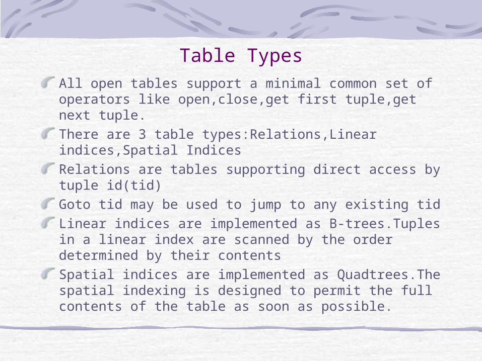
Table TypesAll open tables support a minimal common set of operators like open,close,get first tuple,get next tuple.There are 3 table types:Relations,Linear indices,Spatial IndicesRelations are tables supporting direct access by tuple id(tid)Goto tid may be used to jump to any existing tidLinear indices are implemented as B-trees.Tuples in a linear index are scanned by the order determined by their contentsSpatial indices are implemented as Quadtrees.The spatial indexing is designed to permit the full contents of the table as soon as possible.
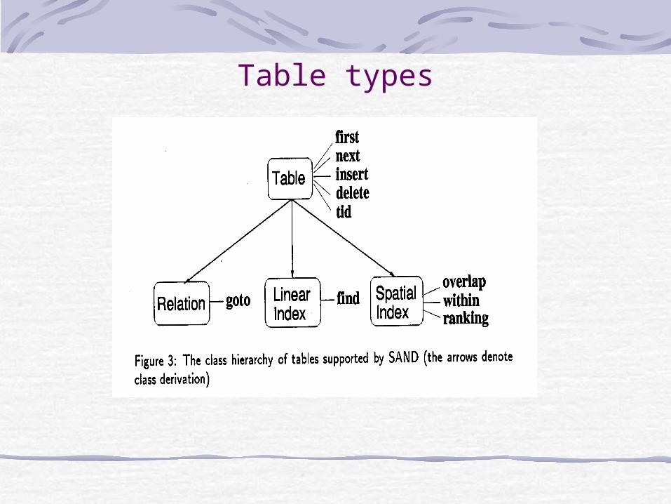
Table types
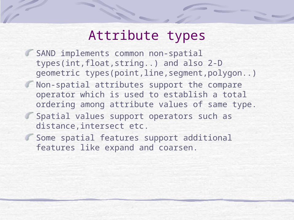
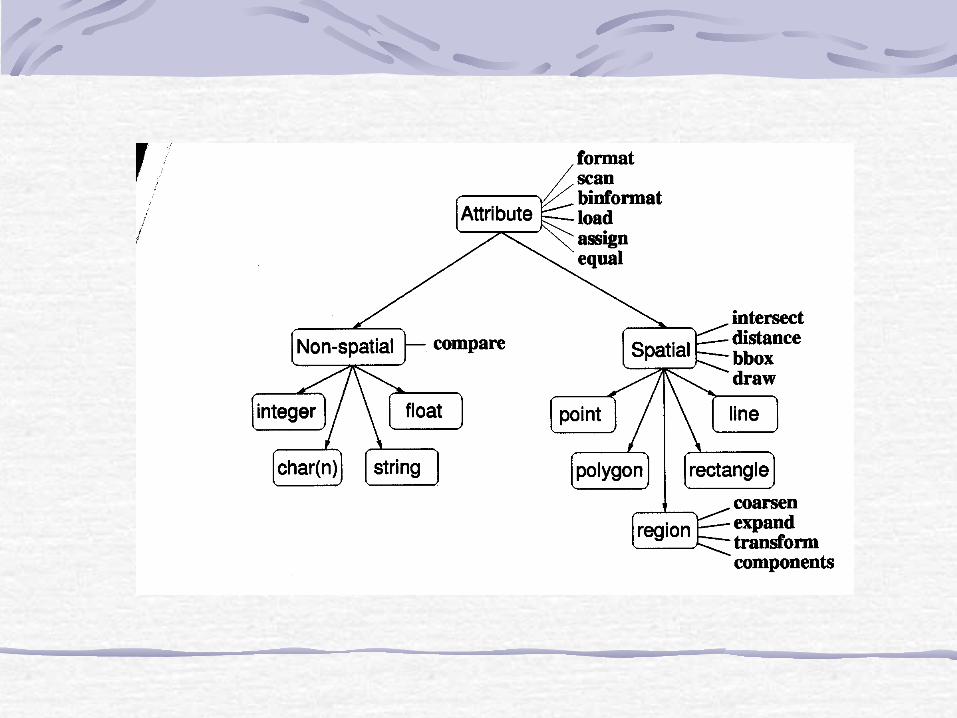
Attribute typesSAND implements common non-spatial types(int,float,string..) and also 2-D geometric types(point,line,segment,polygon..)Non-spatial attributes support the compare operator which is used to establish a total ordering among attribute values of same type.Spatial values support operators such as distance,intersect etc.Some spatial features support additional features like expand and coarsen.
SAND InterpreterSAND Interpreter is implemented in Tcl which provides integration with tk a toolkit for graphical user interfaces.
Most aspects of SAND can be controlled and programmed by means of commands to SAND interpreter
The system can be extended by writing new methods or strategies that are stored in a library of SAND scripts
The interpreter can be viewed as the unifying element of the SAND system

SAND BrowserSAND browser provides GUI to the facilities of SANDVisualization is done by specifying two types of controls:scan order in which tuples are retrieved and an arbitrary selection predicate.Current implementations support only selections and semi spatial joins.SAND browser provides prompt visual feedback due to incremental query processing capabilities
ConclusionsSAND is an ongoing project and new features are being added.The table and attribute classes are being redesigned so that addition of new attribute or table does not require modification of interpreter command interface.A full featured query optimizer would be incorporated into SAND in the near future.SAND has been used as a prototype of an image database system.

Spatial QueriesThe processing of spatial queries is supported by interpreter commands associated with spatial attributes and spatial indices.Spatial indices support ranking wrt a given spatial object.Ranking in SAND is performed incrementally.This means that once the parameters for a ranking operation are given,the first tuple is returned as soon as possible.Having computed the first k elements,to get the (k+1)st element we need not sort k+1 elements but we can start from the point at which we obtain the kth element.