Alabama Geospatial Office Established May 2007 Mike Vanhook State GIS Coordinator.
25
Alabama Geospatial Alabama Geospatial Office Office Established May 2007 Established May 2007 Mike Vanhook State GIS Coordinator
-
date post
19-Dec-2015 -
Category
Documents
-
view
215 -
download
0
Transcript of Alabama Geospatial Office Established May 2007 Mike Vanhook State GIS Coordinator.
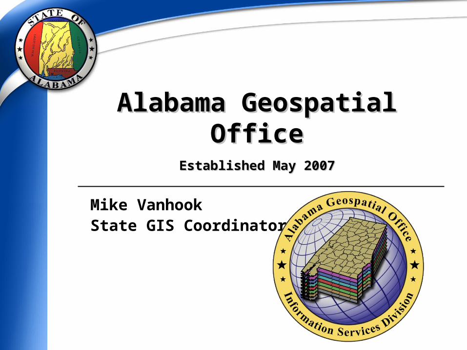
Alabama Geospatial OfficeAlabama Geospatial Office
Established May 2007Established May 2007
Mike VanhookState GIS Coordinator
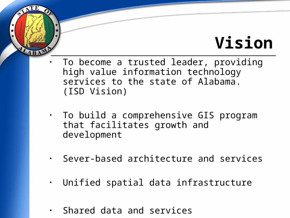
• To become a trusted leader, providing high value
information technology services to the state of Alabama. (ISD Vision)
• To build a comprehensive GIS program that facilitates growth and development
• Sever-based architecture and services
• Unified spatial data infrastructure
• Shared data and services
Vision
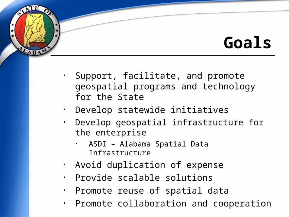
• Support, facilitate, and promote geospatial programs and technology for the State
• Develop statewide initiatives• Develop geospatial infrastructure for the enterprise
• ASDI – Alabama Spatial Data Infrastructure
• Avoid duplication of expense• Provide scalable solutions• Promote reuse of spatial data• Promote collaboration and cooperation
Goals
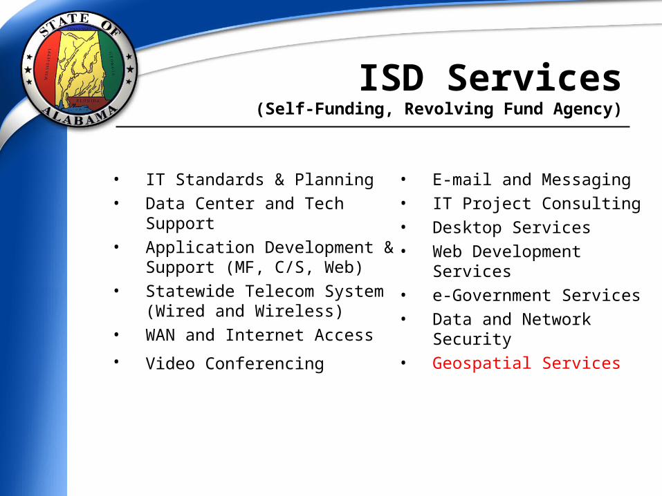
• IT Standards & Planning
• Data Center and TechSupport
• Application Development & Support (MF, C/S, Web)
• Statewide Telecom System (Wired and Wireless)
• WAN and Internet Access
• Video Conferencing
• E-mail and Messaging
• IT Project Consulting
• Desktop Services
• Web Development Services
• e-Government Services
• Data and Network Security • Geospatial Services
ISD Services(Self-Funding, Revolving Fund Agency)
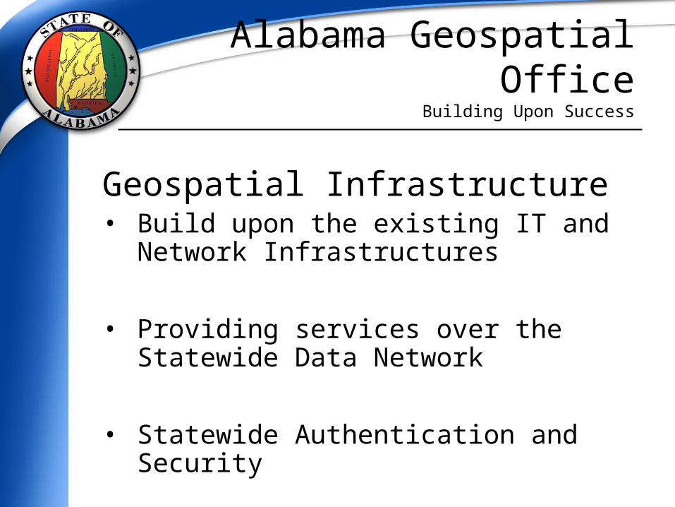
Alabama Geospatial OfficeBuilding Upon Success
Geospatial Infrastructure• Build upon the existing IT and Network
Infrastructures
• Providing services over the Statewide Data Network
• Statewide Authentication and Security
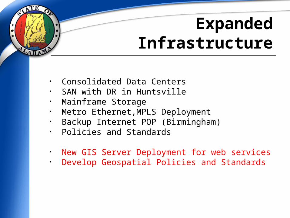
• Consolidated Data Centers• SAN with DR in Huntsville• Mainframe Storage • Metro Ethernet,MPLS Deployment• Backup Internet POP (Birmingham)• Policies and Standards
• New GIS Server Deployment for web services• Develop Geospatial Policies and Standards
Expanded Infrastructure

• Geospatial data provides LOCATION of entities to the enterprise; with minimal attribution
• Connecting services and systems through Service Oriented Architecture (SOA)
• Plumbing/Networking data and services
• Building network applications
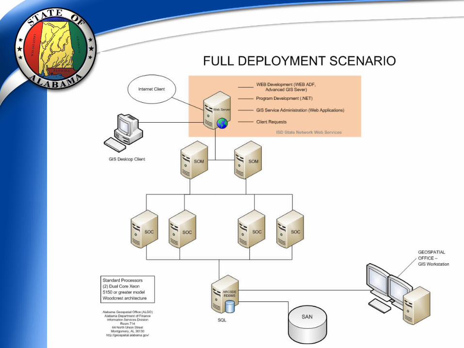
Enterprise Geospatial Infrastructure
• Potential Programs and Services: Enterprise GIS solutions and web map services Server and Service Oriented Architecture (SOA) Alabama Spatial Data Infrastructure (ASDI) Geospatial coordination and shared services Data storage, integrity, replication, and security Cost effective and high quality systems Integrated technology State negotiated contract pricing for hardware and software Support for federal geospatial standards and guidelines Training and Support
Geospatial Services

• Established state-wide purchasing contracts for computers and monitors.• GIS Developer Workstations (in process)
• ESRI Enterprise License Agreement• Will save over $200k upon deployment
• ISD - Microsoft Enterprise Agreement (SHI, Inc)
• Other contract consideration in support of geospatial technology
Statewide Contracts
State Enterprise License Agreement (ELA)
Between the State of Alabama and Environmental Systems Research Institute
(ESRI)
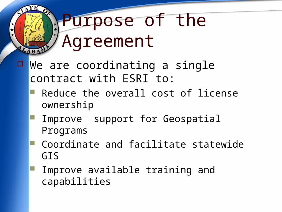
Purpose of the Agreement We are coordinating a single contract with
ESRI to: Reduce the overall cost of license ownership Improve support for Geospatial Programs Coordinate and facilitate statewide GIS Improve available training and capabilities
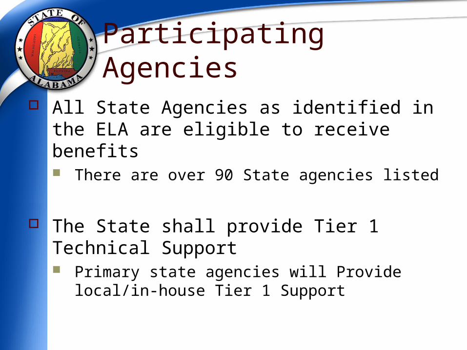
Participating Agencies All State Agencies as identified in the ELA are
eligible to receive benefits There are over 90 State agencies listed
The State shall provide Tier 1 Technical Support Primary state agencies will Provide local/in-house Tier 1
Support
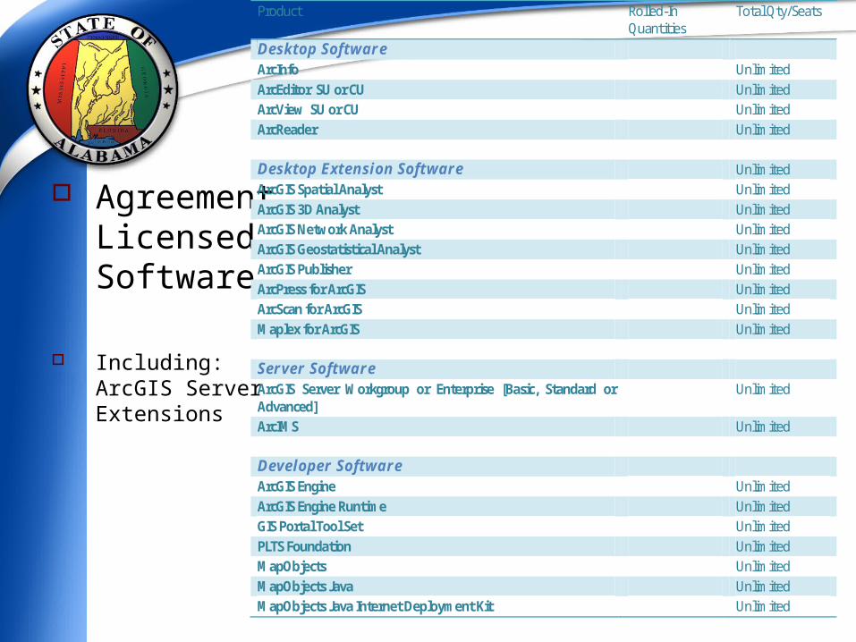
AgreementLicensedSoftware
Including:ArcGIS Server Extensions
Product Rolled-In Quantities
Total Qty/Seats
Desktop Software ArcInfo Unlimited ArcEditor SU or CU Unlimited ArcView SU or CU Unlimited ArcReader Unlimited Desktop Extension Software Unlimited ArcGIS Spatial Analyst Unlimited ArcGIS 3D Analyst Unlimited ArcGIS Network Analyst Unlimited ArcGIS Geostatistical Analyst Unlimited ArcGIS Publisher Unlimited ArcPress for ArcGIS Unlimited ArcScan for ArcGIS Unlimited Maplex for ArcGIS Unlimited Server Software ArcGIS Server Workgroup or Enterprise [Basic, Standard or Advanced]
Unlimited
ArcIMS Unlimited Developer Software ArcGIS Engine Unlimited ArcGIS Engine Runtime Unlimited GIS Portal Tool Set Unlimited PLTS Foundation Unlimited MapObjects Unlimited MapObjects Java Unlimited MapObjects Java Internet Deployment Kit Unlimited
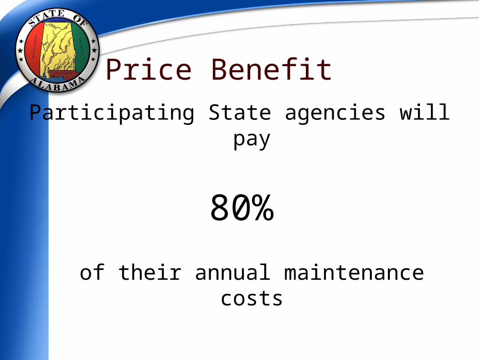
Price BenefitParticipating State agencies will pay
80%
of their annual maintenance costs

• NSGIC
• National States Geographic Information Council• Serving as a State Representative• Ramona (GIS Inventory) State Administration• Imagery for the Nation• GIS for the Nation• Fifty States Initiative
• USGS Agreement• Supporting the national Geospatial Line of Business• National Geospatial Programs Office• FGDC/NSDI standards and best practices• Shared data and services
• HIFLD• Homeland Security Foundation Level Data Working Group • Served as NSGIC Representative for HSIP Feedback session
Supporting Geospatial Programs
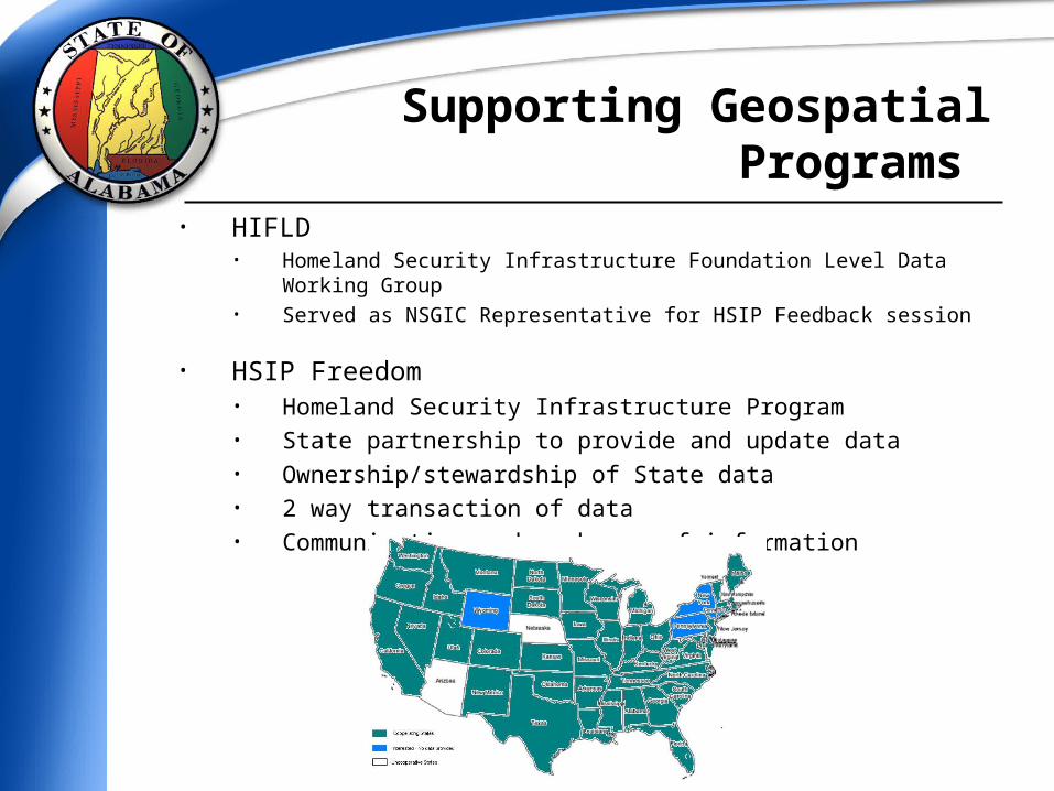
• HIFLD
• Homeland Security Infrastructure Foundation Level Data Working Group • Served as NSGIC Representative for HSIP Feedback session
• HSIP Freedom• Homeland Security Infrastructure Program• State partnership to provide and update data• Ownership/stewardship of State data• 2 way transaction of data • Communication and exchange of information
Supporting Geospatial Programs
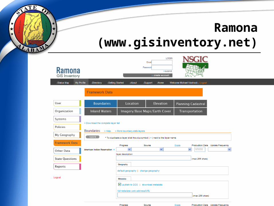
Ramona (www.gisinventory.net)
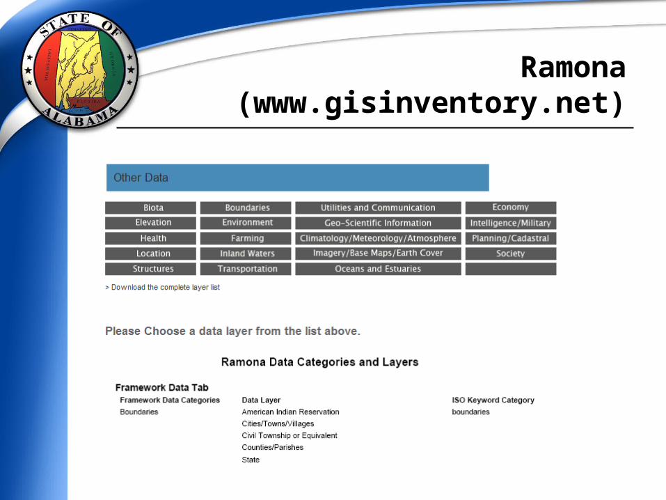
Ramona (www.gisinventory.net)
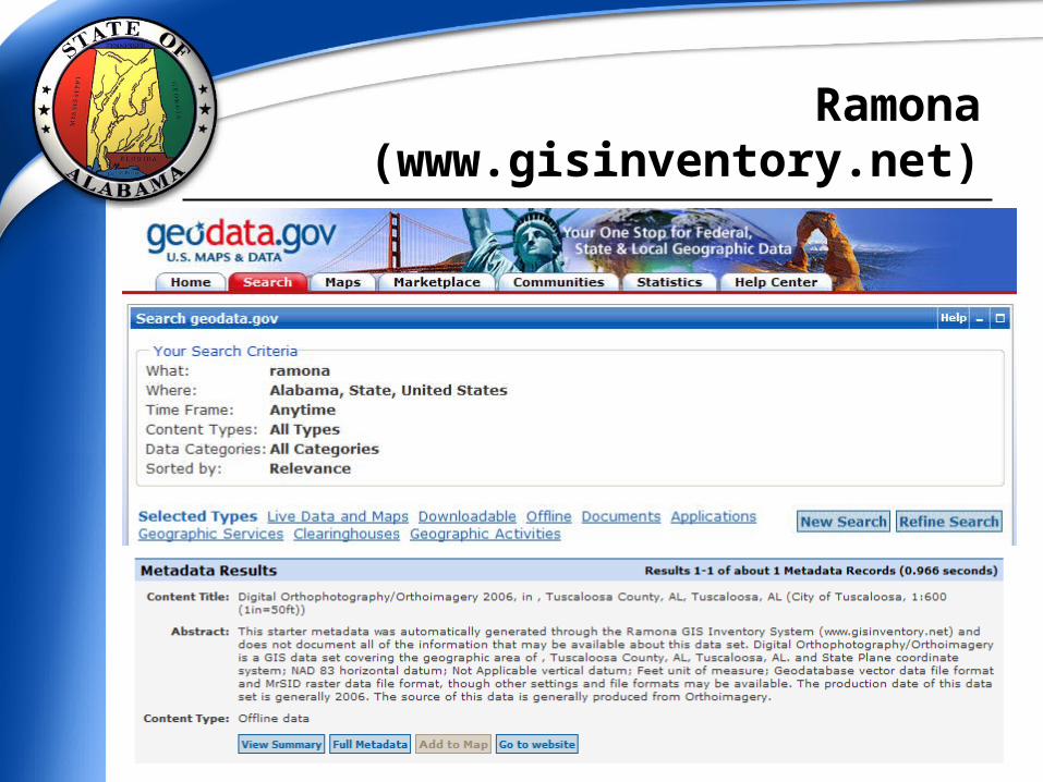
Ramona (www.gisinventory.net)
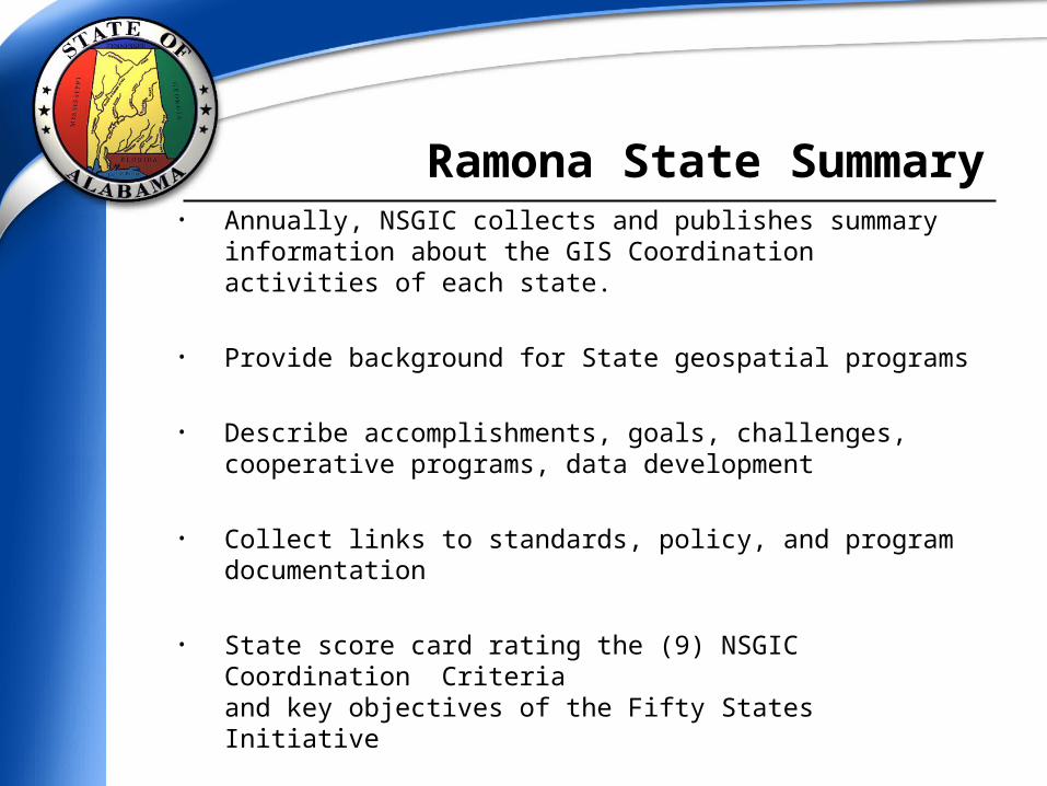
• Annually, NSGIC collects and publishes summary information
about the GIS Coordination activities of each state.
• Provide background for State geospatial programs
• Describe accomplishments, goals, challenges, cooperative programs, data development
• Collect links to standards, policy, and program documentation
• State score card rating the (9) NSGIC Coordination Criteriaand key objectives of the Fifty States Initiative
Ramona State Summary
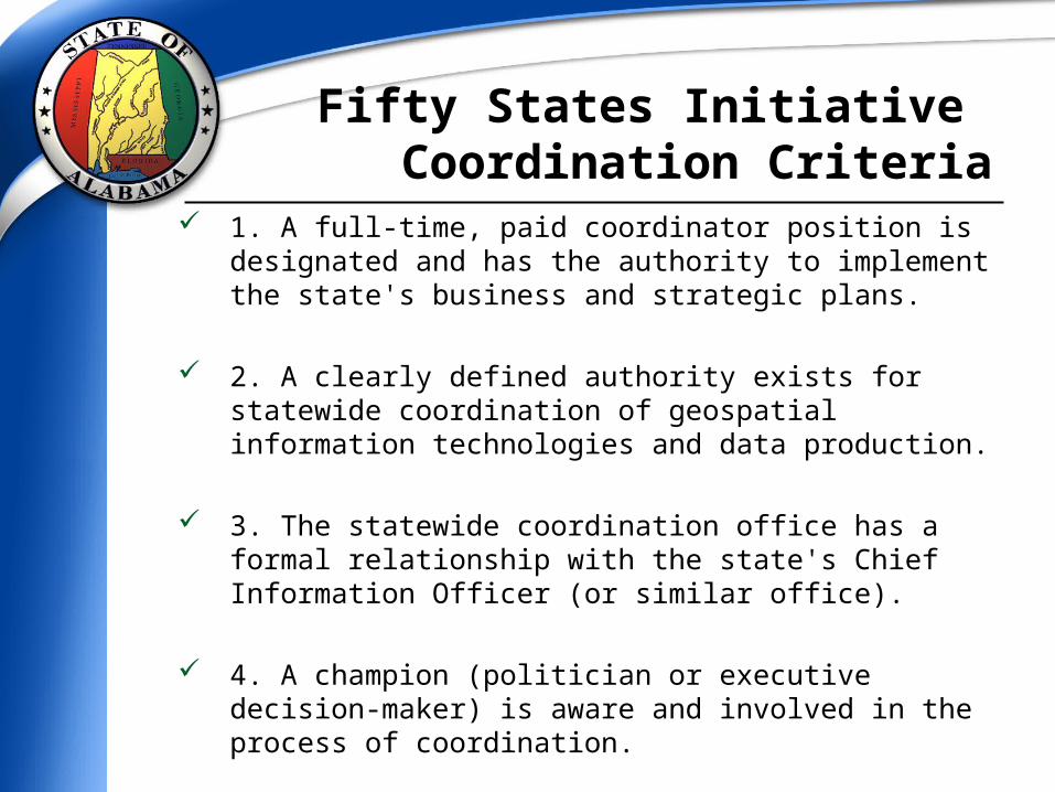
1. A full-time, paid coordinator position is designated and has
the authority to implement the state's business and strategic plans.
2. A clearly defined authority exists for statewide coordination of geospatial information technologies and data production.
3. The statewide coordination office has a formal relationship with the state's Chief Information Officer (or similar office).
4. A champion (politician or executive decision-maker) is aware and involved in the process of coordination.
Fifty States Initiative Coordination Criteria
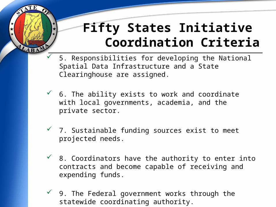
5. Responsibilities for developing the National Spatial Data
Infrastructure and a State Clearinghouse are assigned.
6. The ability exists to work and coordinate with local governments, academia, and the private sector.
7. Sustainable funding sources exist to meet projected needs.
8. Coordinators have the authority to enter into contracts and become capable of receiving and expending funds.
9. The Federal government works through the statewide coordinating authority.
Fifty States Initiative Coordination Criteria
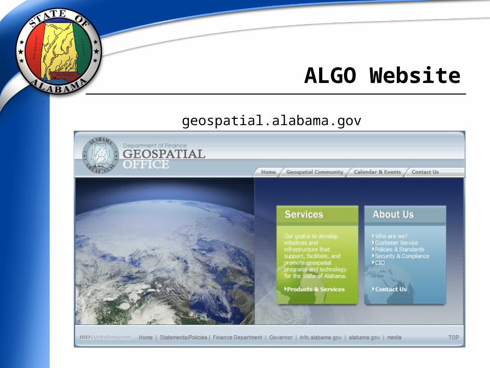
geospatial.alabama.gov
ALGO Website
Alabama Geospatial OfficeAlabama Geospatial Office
Established May 2007Established May 2007
Mike VanhookState GIS CoordinatorDirect: (334) [email protected]