
Aerial photography and satellite imagery as data input GEOG 4103, Feb 20th Adina Racoviteanu.
26
Aerial photography and satellite imagery as data input GEOG 4103, Feb 20th Adina Racoviteanu
-
Upload
derrick-watkins -
Category
Documents
-
view
217 -
download
1
Transcript of Aerial photography and satellite imagery as data input GEOG 4103, Feb 20th Adina Racoviteanu.
Aerial photography and satellite imagery as data input
GEOG 4103, Feb 20th
Adina Racoviteanu

Aerial photographs
• "bird's-eye" view of the earth
• Photogrammetry = "the art or science of making measurements from aerial imagery"

Camera systems
K-25 WWII Recon Camera
High Quality Photographic
Systems and the Digital
Modular Camera
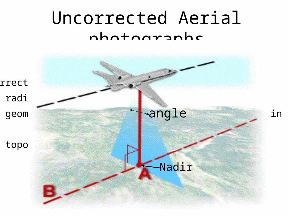
Uncorrected Aerial photographs
Uncorrected aerial photos have distortions
• radial distortion (due to lens curvature)
• geometric distortions (due to inconsistencies in the
attitude of the airplane)
• topographic distortions (due to relief)
Nadir
angle
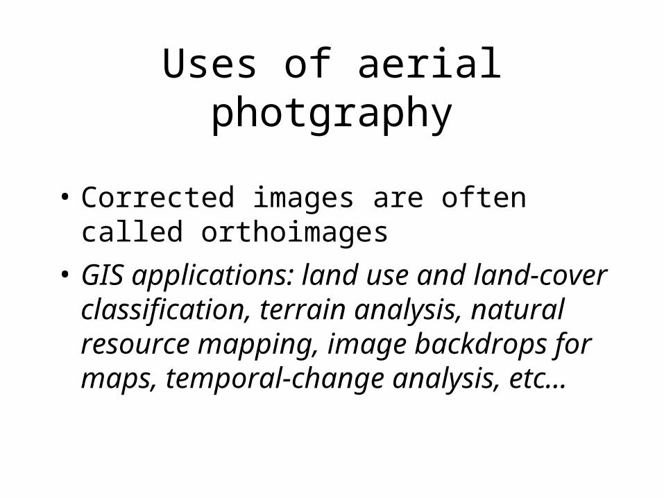
Uses of aerial photgraphy
• Corrected images are often called orthoimages
• GIS applications: land use and land-cover classification, terrain analysis, natural resource mapping, image backdrops for maps, temporal-change analysis, etc...

Black and white aerial photography

Color aerial photography

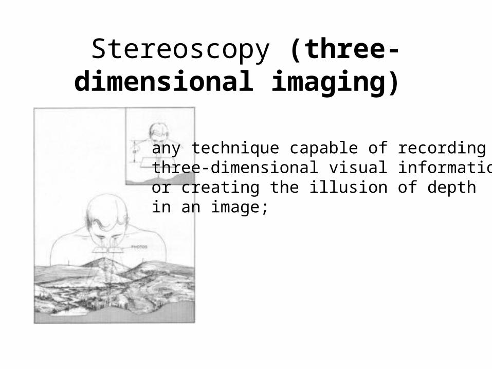
Stereoscopy (three-dimensional imaging)
any technique capable of recordingthree-dimensional visual information or creating the illusion of depth in an image;
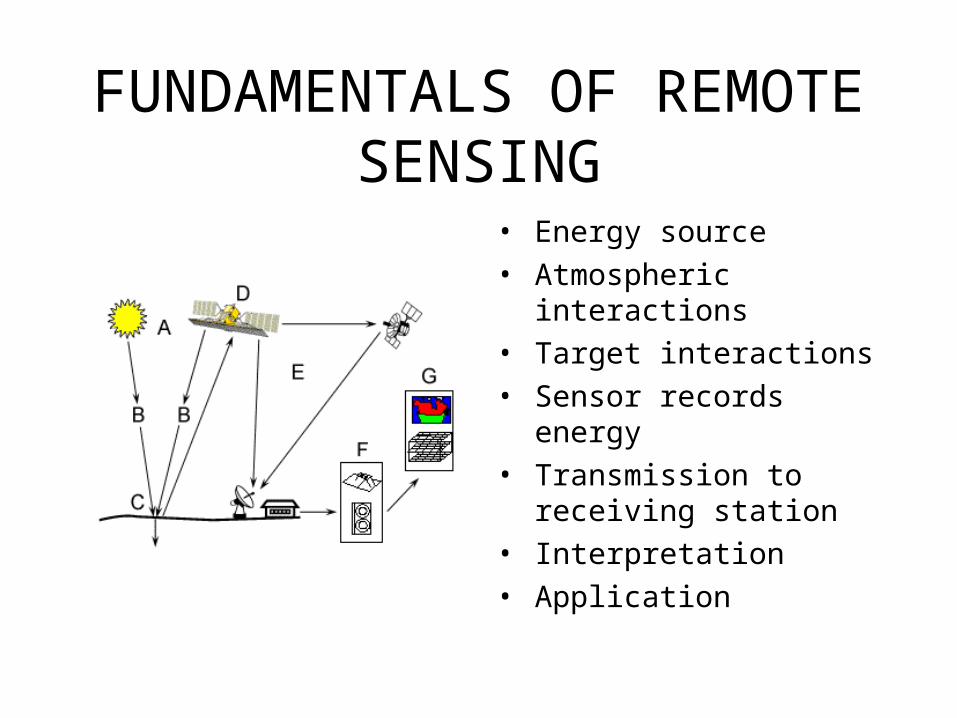
FUNDAMENTALS OF REMOTE SENSING
• Energy source• Atmospheric
interactions• Target interactions• Sensor records energy• Transmission to
receiving station• Interpretation• Application
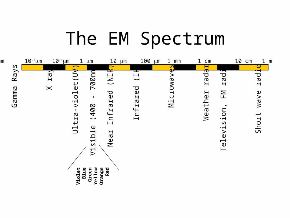
The EM Spectrum10-1nm 1 nm 10-2m 10-1m 1 m 10 m 100 m 1 mm 1 cm 10 cm 1 m 102m
Gam
ma
Ray
s
X r
ays
Ultr
a-vi
olet
(UV
)
Vis
ible
(40
0 -
700n
m)
Nea
r In
frar
ed (
NIR
)
Infr
ared
(IR
)
Mic
row
aves
Wea
ther
rad
ar
Tel
evis
ion,
FM
rad
io
Sho
rt w
ave
radi
o
Vio
let
Blu
eG
ree
nY
ell
ow
Ora
ng
eR
ed

PIXELS: Minimum sampling area
One temperature brightness (Tb) value recorded per pixel
One temperature brightness (Tb) value recorded per pixel

Landsat Thematic Mapper (TM)
• 30 m spatial resolution
• 185 km FOV• Spectral resolution
– 0.45-0.52 μm– 0.52-0.60 μm– 0.63-0.69 μm– 0.76-0.90 μm– 1.55-1.75 μm– 10.4-12.5 μm– 2.08-2.35 μm
• 16 day repeat pass
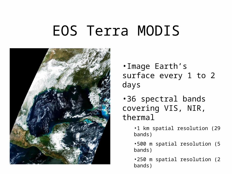
EOS Terra MODIS
•Image Earth’s surface every 1 to 2 days
•36 spectral bands covering VIS, NIR, thermal
•1 km spatial resolution (29 bands)
•500 m spatial resolution (5 bands)
•250 m spatial resolution (2 bands)
•2330 km swath

Digital processing2 steps needed:
1) Georeferencing: assign real world coordinates
2) Orthorectification: remove all the distortions
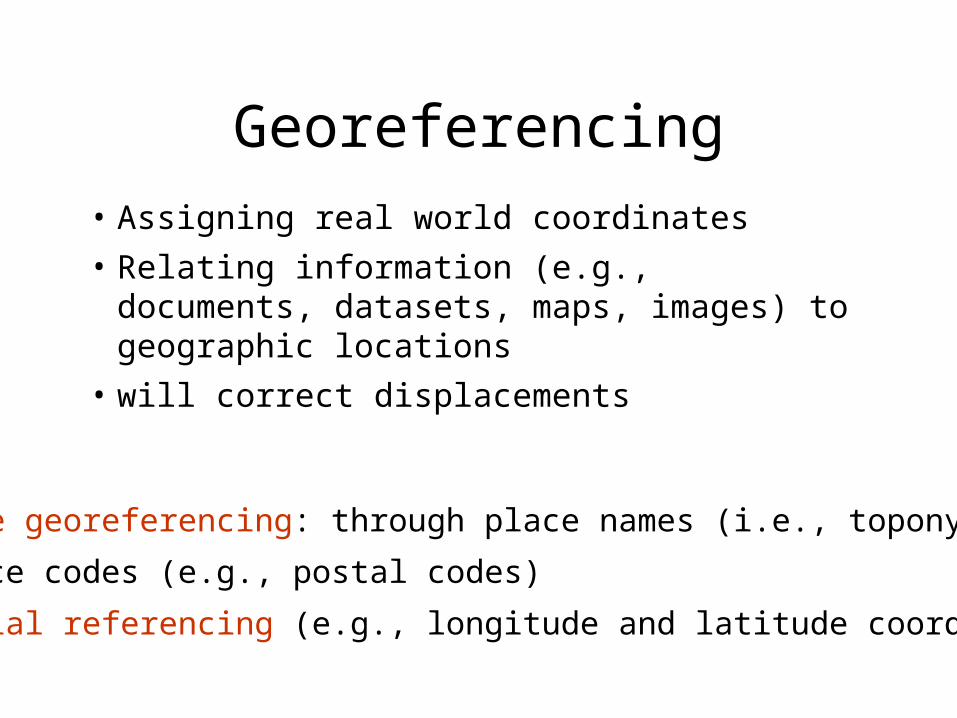
Georeferencing
• Assigning real world coordinates
• Relating information (e.g., documents, datasets, maps, images) to geographic locations
• will correct displacements
Discrete georeferencing: through place names (i.e., toponyms)
and place codes (e.g., postal codes)
Geospatial referencing (e.g., longitude and latitude coordinates).
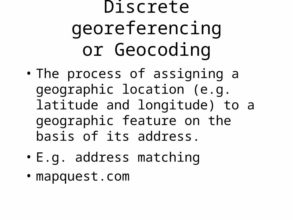
Discrete georeferencingor Geocoding
• The process of assigning a geographic location (e.g. latitude and longitude) to a geographic feature on the basis of its address.
• E.g. address matching
• mapquest.com

Geocoding method
• Based on a parcel centroid file that includes:
Street Name
Address
Nine-Digit ZIP Code
• Main source for geocoding base map data is TIGER (http://www.census.gov
/geog/www/tiger/)
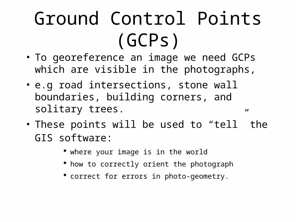
Ground Control Points (GCPs)
• To georeference an image we need GCPs which are visible in the photographs,
• e.g road intersections, stone wall boundaries, building corners, and solitary trees.
• These points will be used to “tell” the GIS software:
where your image is in the world
how to correctly orient the photograph
correct for errors in photo-geometry.
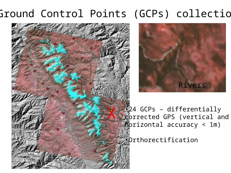
Road curvesSquaresRivers
•24 GCPs – differentially corrected GPS (vertical and horizontal accuracy < 1m)
•Orthorectification
Ground Control Points (GCPs) collection
X

How many GCPs?
• Depends on the amount of distortion in your photograph and your desired level of accuracy
• mathematical formula applied to each pixel in the photo– first order (3 points min) does not distort, only shifts
– second order (6 points min)
– third order (9 points min) - distortions
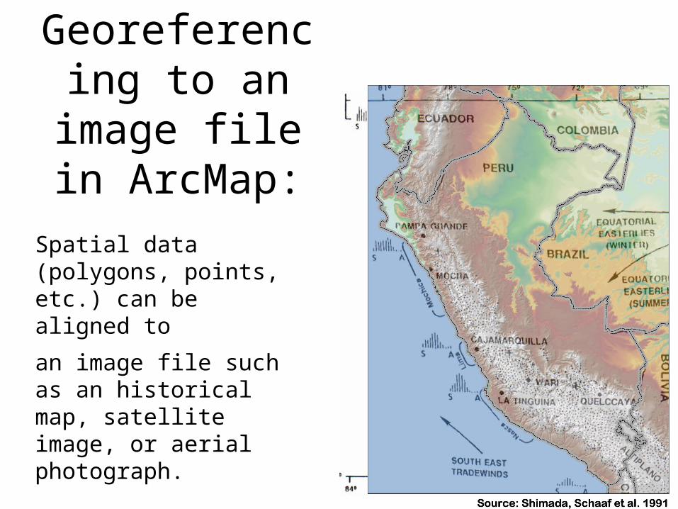
Georeferencing to an image file
in ArcMap:
Spatial data (polygons, points, etc.) can be aligned to
an image file such as an historical map, satellite image, or aerial photograph.
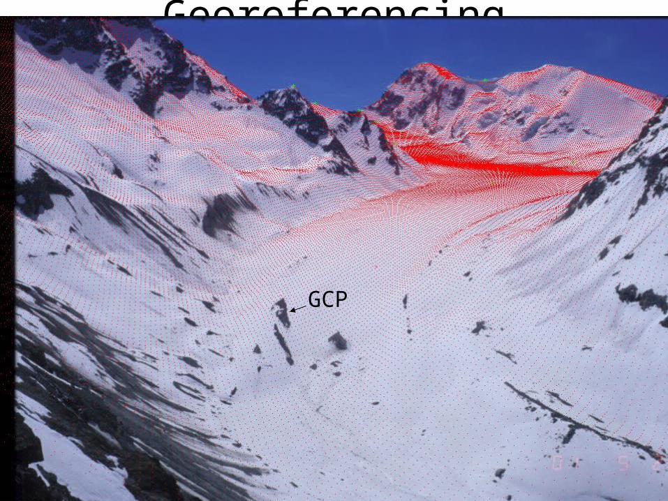
Georeferencing terrestrial photography
GCP
Orthorectification
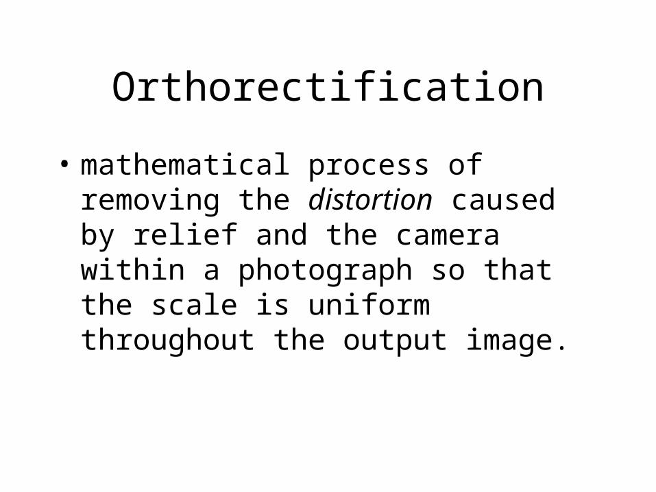
• mathematical process of removing the distortion caused by relief and the camera within a photograph so that the scale is uniform throughout the output image.
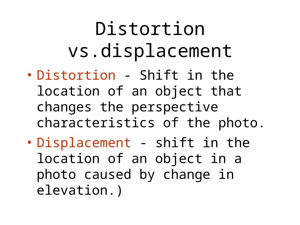
Distortion vs.displacement
• Distortion - Shift in the location of an object that changes the perspective characteristics of the photo.
• Displacement - shift in the location of an object in a photo caused by change in elevation.)
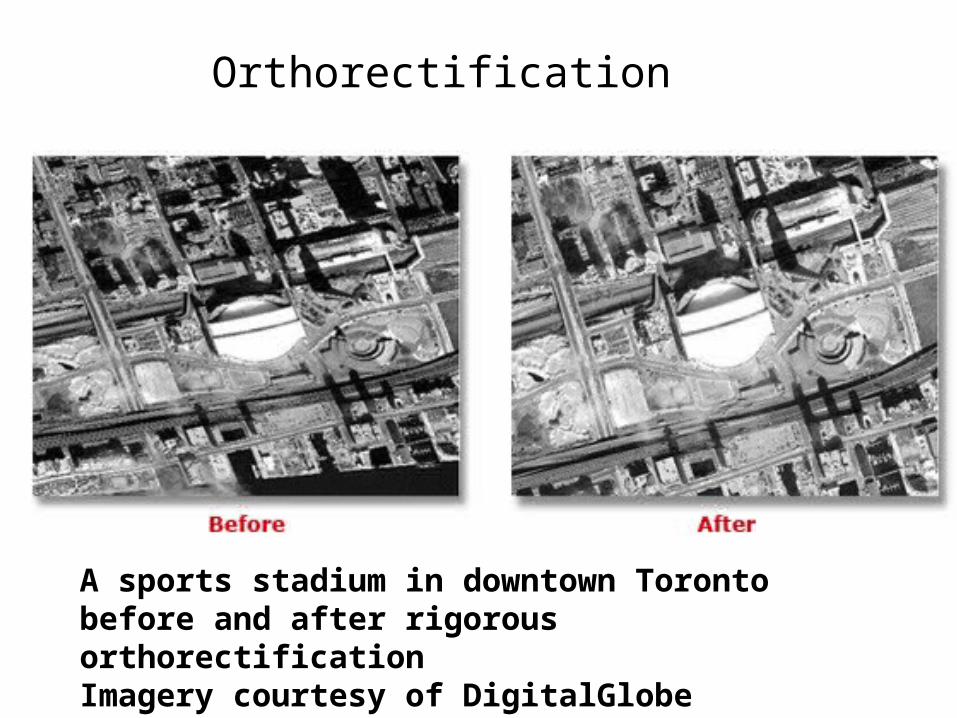
A sports stadium in downtown Toronto before and after rigorous orthorectificationImagery courtesy of DigitalGlobe
Orthorectification