A46 Coventry junctions upgrade -...
11
A46 Coventry junctions upgrade Binley junction preferred route announcement March 2018
Transcript of A46 Coventry junctions upgrade -...

A46 Coventry junctions upgrade Binley junction preferred route announcement
March 2018

A46 Coventry junctions upgrade Binley junction preferred route announcement 3A46 Coventry junctions upgrade Binley junction preferred route announcement22 3
ContentIntroduction 4
Why the scheme is needed 5
Incorporating your views 6
Preferred route 7
Environment 11
Traffic 14
Construction 15
Next steps - Binley junction 16
Next steps - Walsgrave junction 17
We’re making journeys better in the Midlands by operating, maintaining and modernising major A roads and motorways – delivering an extensive government investment programme. We’re committed to ensuring that the region’s roads are fit for now and for the future.

A46 Coventry junctions upgrade Binley junction preferred route announcement A46 Coventry junctions upgrade Binley junction preferred route announcement4 5
Introduction Highways England is a government-owned company. We are responsible for the operation, maintenance and improvements to England’s Strategic Road Network of motorways and major A roads. This includes delivery of the government’s Road Investment Strategy commitments, published in 2014 by the Department for Transport.
The A46 is a strategic link between the East and West Midlands, connecting Coventry and Warwickshire to the motorway network. Current levels of congestion are having a serious effect on communities and businesses and would constrain future development in the area.
As part of the government’s £15.2bn road investment strategy we are developing a scheme to improve the junctions along the A46 which includes the Binley and Walsgrave junctions. This scheme will help increase the road’s capacity and meet the demands of future road users.
We are taking a phased approach to this scheme, and will progress with Binley junction (also known as the TGI Island) first as it currently suffers from heavy congestion, making journey times unreliable for drivers as well as for local traffic.
We held a public consultation in February 2017 so that we could inform the local community interested or impacted by the works and seek their views on the proposed design. Over the last year, we have reviewed the feedback and taken the comments and issues raised during the consultation into account, wherever possible, while developing the scheme design. At the same time we have been undertaking further technical studies to support the design work.
This brochure summarises the results from the public consultation, and outlines the preferred route for the Binley junction which will be taken forward through the planning process.
Why the scheme is neededThe A46 is a strategic link between the East and West Midlands, connecting Coventry and Warwickshire to the motorway network. Current levels of congestion are having a serious effect on communities and businesses and would constrain future development in the area.
Upgrading the A46/A428 Binley junction will:
Support the growing economy The scheme will provide additional junction capacity in an area that is already busy and which is forecast to become much busier in the coming years as traffic increases.
Support the smooth flow of trafficThe scheme will enable traffic to flow more freely throughout the network. This will improve journey time reliability, making life easier and safer for businesses, commuters and local traffic.
Improve safety The scheme will improve safety and reduce driver stress by separating local traffic from long-distance and business traffic. We will also provide safe access for non-motorised users to cross the A46.
Current levels of congestion are having a serious effect on communities and businesses and would constrain future development in the area.
This brochure summarises the results from the public consultation, and outlines the preferred route for the Binley junction which will be taken forward through the planning process.

A46 Coventry junctions upgrade Binley junction preferred route announcement6 A46 Coventry junctions upgrade Binley junction preferred route announcement 76
Incorporating your viewsWe held an initial consultation from February to March 2017 on the options for the proposed new design for Binley junction. We wanted to inform the local community interested or impacted by the works and seek their views. To do this we:
� held two public consultation events in local venues
� sent invites out to local residents and businesses to inform them of the events and where they could find more information
� contacted local groups and circulated posters to provide another route to advertise the events
� produced a fly through video of the proposed design alongside exhibition boards and a brochure
� sought feedback from the local community via a feedback form
Over 330 people visited the exhibitions and we received over 190 responses. The feedback we received in February 2017 was incredibly important in helping us understand how the local community uses the road at present and what people thought about the designs presented at that stage.
Previous option The original proposal led to concerns within the community over the visual impact the design would have on the surrounding area.
You said We did
The improvements are needed to reduce congestion in the local area.
We agree and feel these works are a vitally important way to improve the congestion and safety issues in the local area.
Concerns over the visual impact on the surrounding area of the design, in particular it was felt that the original flyover design would mean residents view would be of a “wall”.
We have redesigned the flyover with your feedback in mind. We have removed part of the embankment from the design and the new bridge structure will be less visually intrusive on the local area.
Improvements need to be made to the space and lighting for pedestrian and cyclist areas around the junction.
We will be extending and improving the combined cycle and footway around the junction. We will also be providing additional lighting under the flyover to make it safer for pedestrians and cyclists.
More information is needed on the noise that will be created and ways to mitigate it.
We have undertaken further technical studies into the impact on noise. More information is available on page 13.
More information on the potential impact on local air pollution is needed.
We have undertaken further technical studies into the impact on air pollution. More information is available on page 11.
The roundabout needs to be safer. The A46 dual carriageway will become a flyover with connections via slip roads. This will separate local traffic connecting on to and using the A428 from through-traffic. As trunk road traffic will not need to pass through the roundabout it will benefit from shorter journey times. It will also be easier for local traffic to navigate the roundabout as there will be less traffic using it.
A428
A46
A428
Coventry
M6 junction 2
7

A46 Coventry junctions upgrade Binley junction preferred route announcement A46 Coventry junctions upgrade Binley junction preferred route announcement8 9
Preferred route Following the public consultation in 2017, we have continued to develop the design taking into account comments and issues raised during the consultation. This included looking at what mitigation we can put in place to minimise the impact on the environment and local communities.
When identifying the preferred route we considered a number of criteria, including the scheme objectives, benefits, safety, costs, environmental effects, construction and the public consultation results.
The plans for the Binley junction will see the A46 dual carriageway become a flyover that will separate local traffic from using the A46. This will mean that drivers staying on the A46 will not need to slow down for the roundabout, improving traffic flows.
The design will also include improvements to the existing footways and cycle paths for non-motorised users.
Our preferred route includes a number of changes from the previous option that was presented in February 2017.
� Taking on board customer feedback, we have changed the design so more of the A46 will now be raised on a bridge structure, removing part of the visual “wall” effect.
� The previous proposal included a new roundabout, the existing roundabout will remain in the new design.
� We will be extending and improving the combined cycle and footway around the junction. We will also be providing additional lighting under the flyover to make it safer for pedestrians and cyclists.
The A428 coming from Binley, Coventry, facing towards the roundabout.
The A428 coming from Binley Woods, facing towards the roundabout.
A46 Coventry junctions upgrade Binley junction preferred route announcement A46 Coventry junctions upgrade Binley junction preferred route announcement 11
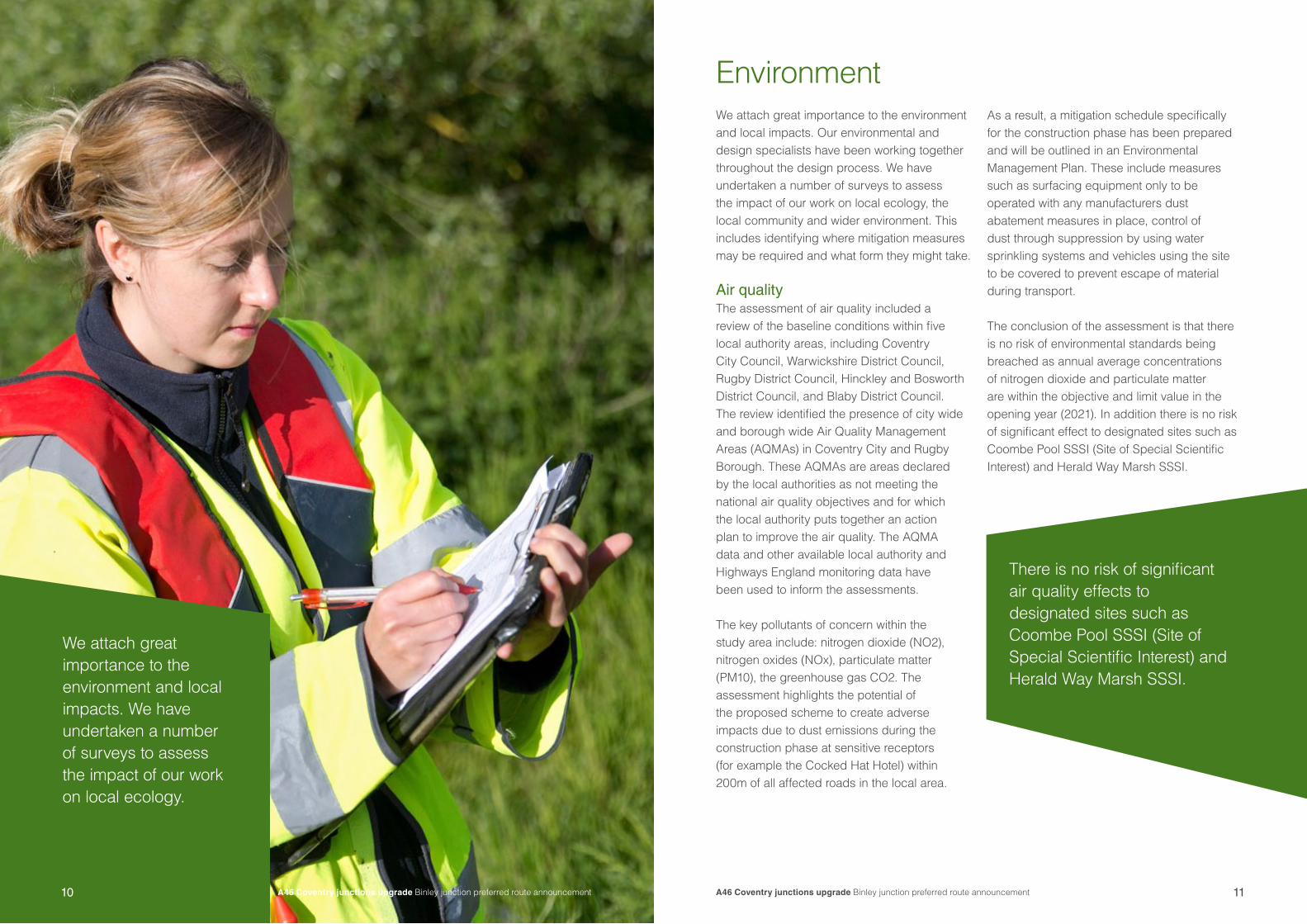
Environment We attach great importance to the environment and local impacts. Our environmental and design specialists have been working together throughout the design process. We have undertaken a number of surveys to assess the impact of our work on local ecology, the local community and wider environment. This includes identifying where mitigation measures may be required and what form they might take.
Air quality The assessment of air quality included a review of the baseline conditions within five local authority areas, including Coventry City Council, Warwickshire District Council, Rugby District Council, Hinckley and Bosworth District Council, and Blaby District Council. The review identified the presence of city wide and borough wide Air Quality Management Areas (AQMAs) in Coventry City and Rugby Borough. These AQMAs are areas declared by the local authorities as not meeting the national air quality objectives and for which the local authority puts together an action plan to improve the air quality. The AQMA data and other available local authority and Highways England monitoring data have been used to inform the assessments.
The key pollutants of concern within the study area include: nitrogen dioxide (NO2), nitrogen oxides (NOx), particulate matter (PM10), the greenhouse gas CO2. The assessment highlights the potential of the proposed scheme to create adverse impacts due to dust emissions during the construction phase at sensitive receptors (for example the Cocked Hat Hotel) within 200m of all affected roads in the local area.
As a result, a mitigation schedule specifically for the construction phase has been prepared and will be outlined in an Environmental Management Plan. These include measures such as surfacing equipment only to be operated with any manufacturers dust abatement measures in place, control of dust through suppression by using water sprinkling systems and vehicles using the site to be covered to prevent escape of material during transport.
The conclusion of the assessment is that there is no risk of environmental standards being breached as annual average concentrations of nitrogen dioxide and particulate matter are within the objective and limit value in the opening year (2021). In addition there is no risk of significant effect to designated sites such as Coombe Pool SSSI (Site of Special Scientific Interest) and Herald Way Marsh SSSI.
We attach great importance to the environment and local impacts. We have undertaken a number of surveys to assess the impact of our work on local ecology.
There is no risk of significant air quality effects to designated sites such as Coombe Pool SSSI (Site of Special Scientific Interest) and Herald Way Marsh SSSI.
10

A46 Coventry junctions upgrade Binley junction preferred route announcement 13A46 Coventry junctions upgrade Binley junction preferred route announcement12
Biodiversity The assessment of potential impacts on biodiversity as a result of the proposed scheme draws upon the results of a number of targeted species and habitat surveys and reports including an extended habitat survey, bat activity survey, ornithological walkover survey, badger survey, water vole and otter survey and great crested newt habitat suitability assessments.
The assessment has been based on predetermined study areas which varied according to the spatial characteristics of each species or habitats potentially impacted and in general up to 500m beyond the proposed scheme boundary. The assessment identified no direct impact to statutory and non-statutory designated sites (including Coombe Pool SSSI, Herald Way Marsh SSSI, Herald Way Marsh
These measures include, but are not limited to:
� no loss of ancient woodlands � no loss of land within all statutory and non-
statutory designated sites� minimising lighting pollution and avoiding
direct illumination of potential bat roosts � no direct impacts to existing water courses
The assessment also proposes potential enhancement measures such as:� replacing of grassland, scrub and woodland
to create a linked system of new habitat � two flood compensation ponds
We will be monitoring the environmental impacts during the pre-construction, construction and post-construction phases of the scheme.
NoiseWe have carried out a detailed noise assessment to determine the impact of the proposed scheme on nearby residents and communities. A high impact was initially identified and will be mitigated through the installation of a reflective noise barrier on the western side of the A46. As a result the impact of the completed proposed scheme is not
predicted to lead to a significant change in noise levels in the local area. In addition we have incorporated low noise road resurfacing into our design for all new parts of the road.
Noise from the proposed scheme has the potential to increase in some locations during the construction phase. We will work closely with our stakeholders, including local authorities, land owners and local communities, to identify the specific issues that are likely to occur and the measures that can be used to address them. All efforts will be made to minimise noise and other impacts throughout the construction phase.
Landscape and visual impactsThe proposed scheme has the potential to impact the landscape character and viewpoints in the surrounding area. We are exploring mitigation proposals including sensitive scheme design and construction planning, and provision of a suitable landscaping design, incorporating tree planting and shrubs to maximise the beneficial effects and careful design and siting of new lighting and signage to minimise visual intrusion and light spill into the surrounding area.
We will be exploring ways to mitigate environmental impacts throughout the pre-construction, construction and post-construction phases of the scheme.
View from east side facing south on the roundabout.
/Claybrook Marsh Local Nature Reserve (LNR), Brandon Marsh SSSI, Ryton and Brandon Gravel Pits SSSI, Stoke Floods LNR and Willenhall Wood LNR).
However we have identified a direct impact in relation to habitat loss due to land take in areas required permanently or temporarily for the proposed scheme. This includes present and indirect impacts including pollution runoff and dust from construction activities. As a result, we have taken into consideration measures to avoid, reduce or compensate for any potential significant adverse effects identified, in line with guidance provided by Highways England and the Chartered Institute of Ecology and Environmental Management.

A46 Coventry junctions upgrade Binley junction preferred route announcement 1514
TrafficThe A46 corridor currently suffers from heavy congestion, making journey times unreliable for drivers as well as for local traffic. We have used a number of computer based traffic models to analyse the existing traffic flows and delays in the area to understand the congestion problem and the impact of our proposed scheme on the road network, vehicle movements and travel times. This information is being used to understand the detailed requirements of the scheme.
The latest economic assessment in 2016 shows that the scheme would be categorised as “high value for money”, with strong economic benefits, which include savings relating to travel times and vehicle operating costs and a reduction in accidents.
We have used a number of computer based traffic models to analyse the existing traffic flows and delays in the area to understand the congestion problem and the impact of our proposed scheme on the road network.
Construction We understand that the construction of the project can often be the most disruptive period for the local community. Therefore we have been working hard to understand how the scheme will be constructed and crucially how the impact on the local community can be minimised. As a result a number of measures have been identified to manage the impact on the local community, including:
Stakeholder engagementLiaison officers will be appointed as a point of contact for the local community, businesses and other stakeholders during the period of construction to help address any concerns or issues as the scheme is built. Regular scheme progress updates will be provided via the scheme website, as well as regular updates via post. Site compounds and use of public roadsWorking areas close to the scheme will be required for site compounds, the storage of materials and equipment. Contractors will also need to use public roads to gain access to working areas. We will work closely with the local highway authorities, to identify the routes which are appropriate and any restrictions that may apply.
Timing and phasing of construction worksConstruction will begin in spring 2020 and we expect to be completed by spring 2022.
Construction phasing arrangements will be developed to mitigate disruption to road users and the surrounding community during the period of construction. The safety of vulnerable road-user groups such as pedestrians and cyclists would be a particular consideration.
Construction of the main works may be preceded by site preparation activities in the six to nine months leading up to the start of the main construction. This may include works by utility companies to divert their services away from the proposed scheme.
We have been working hard to understand how the scheme will be constructed and crucially how the impact on the local community can be minimised.
14 15A46 Coventry junctions upgrade Binley junction preferred route announcement A46 Coventry junctions upgrade Binley junction preferred route announcement

A46 Coventry junctions upgrade Binley junction preferred route announcement 17A46 Coventry junctions upgrade Binley junction preferred route announcement A46 Coventry junctions upgrade Binley junction preferred route announcement16 17
Next steps - Walsgrave junctionWe are taking a phased approach to upgrades on the A46. To do this we will progress with the Binley junction first as it currently suffers from heavy congestion. Next steps for Walsgrave are to develop options that will meet the needs of road users and the community and provide value for money.
We are committed to working with the local community and stakeholders as we bring our plans forward. Once a viable option has been developed for Walsgrave we will hold another public information event, where you will be able to share your views on the proposed design, so that we can develop the scheme further with the understanding of local concerns and suggestions and develop a preferred route. We expect to be able to announce a preferred route in 2019.
Next steps - Binley junction Construction will begin in spring 2020 andwe expect to be completed by spring 2022.
If you have any questions or comments please contact us via one of the options below:
www.highways.gov.uk/A46coventryjunctions
0300 123 5000
A46 Coventry junctions upgrade team
Highways England
The Cube
199 Wharfside Street
Birmingham
B1 1RN

A46 Coventry junctions upgrade Binley junction preferred route announcement18 A46 Coventry junctions upgrade Binley junction preferred route announcement 19

If you need help accessing this or any other Highways England information,please call 0300 123 5000 and we will help you.
© Crown copyright 2018.You may re-use this information (not including logos) free of charge in any format or medium, under the terms of the Open Government Licence. To view this licence: visit www.nationalarchives.gov.uk/doc/open-government-licence/write to the Information Policy Team, The National Archives, Kew, London TW9 4DU, or email [email protected].
© Crown copyright and database rights 20178 OS 100030649. You are permitted to use this data solely to enable you to respond to, or interact with, the organisation that provided you with the data. You are not permittedto copy, sub-licence, distribute or sell any of this data to third parties in any form.
This document is also available on our website at www.gov.uk/highways
If you have any enquiries about this publication email [email protected] or call 0300 123 5000*. Please quote the Highways England publications code PR202/17.
Highways England creative job number BED18 0047
*Calls to 03 numbers cost no more than a national rate call to an 01 or 02 number and must count towards any inclusive minutes in the same way as 01 and 02 calls. These rules apply to calls from any type of line including mobile, BT, other fixed line or payphone. Calls may be recorded or monitored.
Printed on paper from well-managed forests and other controlled sources.
Registered office Bridge House, 1 Walnut Tree Close, Guildford GU1 4LZHighways England Company Limited registered in England and Wales number 09346363