Supervised Classification in Imagine D. Meyer [email protected] E. Wood [email protected].
Upload
betty-wilkersonCategory
view
214download
0
10 Minutes of Metadata
Viv HutchisonUS Geological SurveyCore Science Analytics Synthesis & LibrariesDenver, [email protected]
5th NACP Principal Investigator’s MeetingWashington, DCJanuary 25, 2015

NACP Best Data Management Practices, January 25, 2015
Scenario: You just inherited this dataset. Can you explain it?
What do the column headers mean? What is STAID? What is the HydroID? What does the sample type wtr_sed mean? What values should I expect to see in each column? How was the data collected?
2
NACP Best Data Management Practices, January 25, 2015
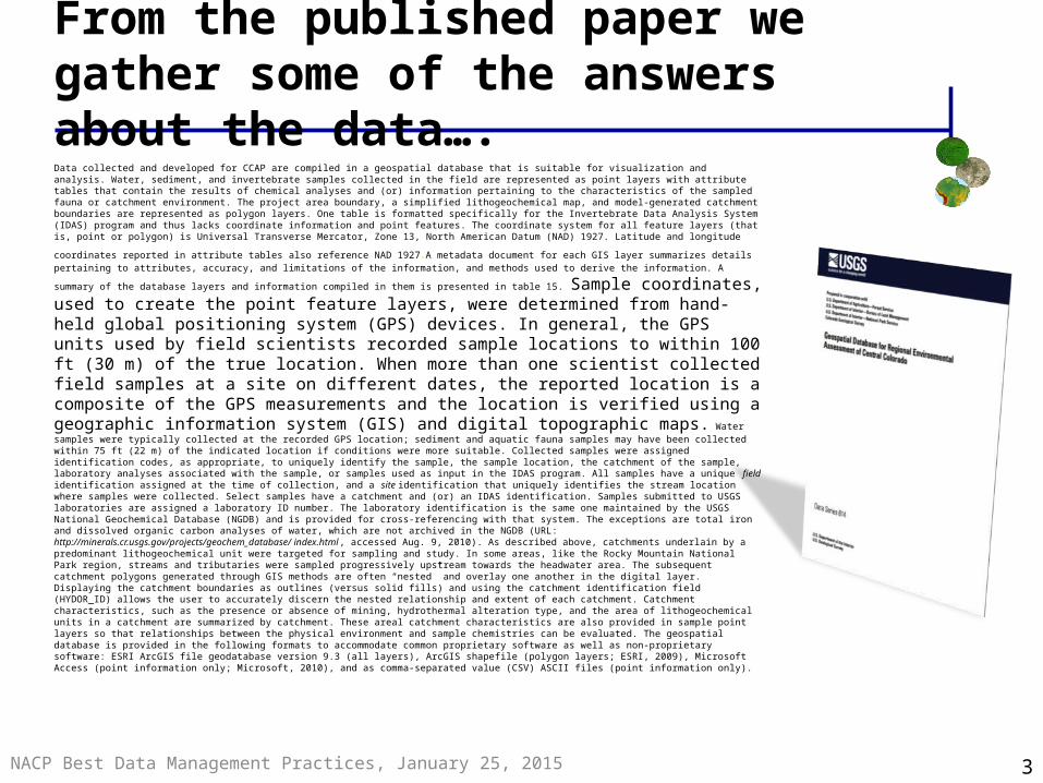
From the published paper we gather some of the answers about the data….Data collected and developed for CCAP are compiled in a geospatial database that is suitable for visualization and analysis. Water, sediment, and invertebrate samples collected in the field are represented as point layers with attribute tables that contain the results of chemical analyses and (or) information pertaining to the characteristics of the sampled fauna or catchment environment. The project area boundary, a simplified lithogeochemical map, and model-generated catchment boundaries are represented as polygon layers. One table is formatted specifically for the Invertebrate Data Analysis System (IDAS) program and thus lacks coordinate information and point features. The coordinate system for all feature layers (that is, point or polygon) is Universal Transverse Mercator, Zone 13, North American Datum (NAD) 1927. Latitude and longitude
coordinates reported in attribute tables also reference NAD 1927.A metadata document for each GIS layer summarizes details pertaining to attributes, accuracy, and limitations of the information, and methods used to derive the information. A summary of the database layers and
information compiled in them is presented in table 15. Sample coordinates, used to create the point feature layers, were determined from hand-held global positioning system (GPS) devices. In general, the GPS units used by field scientists recorded sample locations to within 100 ft (30 m) of the true location. When more than one scientist collected field samples at a site on different dates, the reported location is a composite of the GPS measurements and the location is verified using a geographic information system (GIS) and digital topographic maps. Water samples were typically collected at the recorded GPS location; sediment and aquatic fauna samples may have been collected within 75 ft (22 m) of the indicated location if conditions were more suitable. Collected samples were assigned identification codes, as appropriate, to uniquely identify the sample, the sample location, the catchment of the sample, laboratory analyses associated with the sample, or samples used as input in the IDAS program. All samples have a unique field identification assigned at the time of collection, and a site identification that uniquely identifies the stream location where samples were collected. Select samples have a catchment and (or) an IDAS identification. Samples submitted to USGS laboratories are assigned a laboratory ID number. The laboratory identification is the same one maintained by the USGS National Geochemical Database (NGDB) and is provided for cross-referencing with that system. The exceptions are total iron and dissolved organic carbon analyses of water, which are not archived in the NGDB (URL: http://minerals.cr.usgs.gov/projects/geochem_database/ index.html, accessed Aug. 9, 2010). As described above, catchments underlain by a predominant lithogeochemical unit were targeted for sampling and study. In some areas, like the Rocky Mountain National Park region, streams and tributaries were sampled progressively upstream towards the headwater area. The subsequent catchment polygons generated through GIS methods are often “nested” and overlay one another in the digital layer. Displaying the catchment boundaries as outlines (versus solid fills) and using the catchment identification field (HYDOR_ID) allows the user to accurately discern the nested relationship and extent of each catchment. Catchment characteristics, such as the presence or absence of mining, hydrothermal alteration type, and the area of lithogeochemical units in a catchment are summarized by catchment. These areal catchment characteristics are also provided in sample point layers so that relationships between the physical environment and sample chemistries can be evaluated. The geospatial database is provided in the following formats to accommodate common proprietary software as well as non-proprietary software: ESRI ArcGIS file geodatabase version 9.3 (all layers), ArcGIS shapefile (polygon layers; ESRI, 2009), Microsoft Access (point information only; Microsoft, 2010), and as comma-separated value (CSV) ASCII files (point information only).
3

NACP Best Data Management Practices, January 25, 2015
…but from the metadata record we get all of our answers…
Lineage: Process_Step: Process_Description: Stream sediment, water, benthic macroinvertebrate, and (or) copepod samples were collected from suitable sites from July 2004 to September 2007. Sample locations, digitally recorded with hand-held GPS devices, were imported into ArcGIS to produce the point features in this data set. Field blanks, collected and processed for quality assurance purposes, were assigned an arbitrary location outside the project area of N 40 degrees, W 105 degrees. Attributes identifying the sample(s), the field site, and the watershed were added by the authors. Other attributes include a description and observations at the field site and date of sample collection. Chemical information, watershed boundaries, and geology related to the sample locations are presented as separate layers in the geodatabase. Process_Date: 2004-2009
…about the data itself4

What Is Metadata?
“Data about Data”
“Structured information that describes, explains, locates, or otherwise makes it easier to retrieve, use, or manage any other resource”
- National Information Standards Organization
5

What Is Metadata?
• Data Reporting:
– WHO created the data?– WHAT is the content of the data?– WHEN was it created?– WHERE is it geographically?– HOW was the data developed?– WHY was the data developed?
6
Ph
oto
by M
ich
elle
Ch
an
g.
All
Rig
hts
R
ese
rved

Metadata in the Real World
• Metadata is all around…
Author(s) Burley, T.E. Title(s) Data Management: A Critical Link
Between Scientists and ManagersDate 2008Place Chattanooga, TN
Physical Desc proceedings; 120p; 22 cm. Subject(s) Science Data Management
Author(s) Burley, T.E. Title(s) Data Management: A Critical Link
Between Scientists and ManagersDate 2008Place Chattanooga, TN
Physical Desc proceedings; 120p; 22 cm. Subject(s) Science Data Management
7

Does any of this data have
configuration problems?
Which data products measure
the quantities I need?
This data is valuable - will I be able to find it again?
Where was this data collected?
Can I trust these measurements? How were they taken?
Questions metadata can help solve
8

NACP Best Data Management Practices, January 25, 2015
What does a metadata record look like?
9

NACP Best Data Management Practices, January 25, 2015
What is a metadata standard?
A Standard provides a structure to describe data with: Common terms to allow consistency between
records Common definitions for easier interpretation Common language for ease of communication Common structure to quickly locate
information
In search and retrieval, standards provide:
documentation structure in a reliable and predictable format for computer interpretation
a uniform summary description of the data set
10

NACP Best Data Management Practices, January 25, 2015
Multiple metadata standards exist
• Content Standard for Digital Geospatial Metadata (CSDGM)– Federal Geographic Data Committee (FGDC)– Emphasis on geospatial data; environmental sciences
• Includes: Biological Data Profile (BDP)• Darwin Core
– Emphasis on taxa - observations, specimens, and samples• Dublin Core Element Set
– Emphasis on describing resources for discovery (video, images, web pages, and physical resources books, objects)
• Ecological Metadata Language (EML)– Emphasis on documentation of ecological data
• ISO 19115 Geographic information: Metadata– Emphasis on geospatial data and services
11

NACP Best Data Management Practices, January 25, 2015
USGS Core Science Metadata Clearinghouse:
- over 100,000 records - http://metadata.ornl.gov/clearinghouse
Clearinghouses and Repositories
Metacat:- metadata registries including KNB,
UCNRS, OBFS, NCEAS, PISCO, ESA - http://knb.ecoinformatics.org/software/index.jsp
12

NACP Best Data Management Practices, January 25, 2015
Metadata mantras…
Robust metadata is required for data management, data reuse, and
data integration to be successful.
13
Data is incomplete without metadata.

NACP Best Data Management Practices, January 25, 2015
Thank you!
14