1 A PRESENTATION OF INPUTS OF HKILA ON“HK2030 PLANNING VISION AND STRATEGYSTAGE 3 PUBLIC...
53
1 A PRESENTATION OF INPUTS A PRESENTATION OF INPUTS OF HKILA ON“HK2030 OF HKILA ON“HK2030 PLANNING VISION AND PLANNING VISION AND STRATEGYSTAGE 3 PUBLIC STRATEGYSTAGE 3 PUBLIC CONSULTATION” CONSULTATION” HONG KONG INSTITUTE OF HONG KONG INSTITUTE OF LAND ADMINISTRATION LAND ADMINISTRATION (HKILA) - www hkila. hk (HKILA) - www hkila. hk
-
date post
18-Dec-2015 -
Category
Documents
-
view
213 -
download
0
Transcript of 1 A PRESENTATION OF INPUTS OF HKILA ON“HK2030 PLANNING VISION AND STRATEGYSTAGE 3 PUBLIC...

11
A PRESENTATION OF INPUTS A PRESENTATION OF INPUTS OF HKILA ON“HK2030 OF HKILA ON“HK2030 PLANNING VISION AND PLANNING VISION AND STRATEGYSTAGE 3 PUBLIC STRATEGYSTAGE 3 PUBLIC CONSULTATION”CONSULTATION”
HONG KONG INSTITUTE OF HONG KONG INSTITUTE OF LAND ADMINISTRATIONLAND ADMINISTRATION
(HKILA) - www hkila. hk(HKILA) - www hkila. hk

2
INDEX OF INPUTS
A VISION TOWARDS SUSTAINABLE DEVELOPMENT
PROPOSED FUTURE ROADMAP –
DIRECTION I: PROVIDING A QUALITY LIVING ENVIRONMENT- Sustainable Use of Land Resource
SPATIAL DEVELOPMENT PATTERNS
3
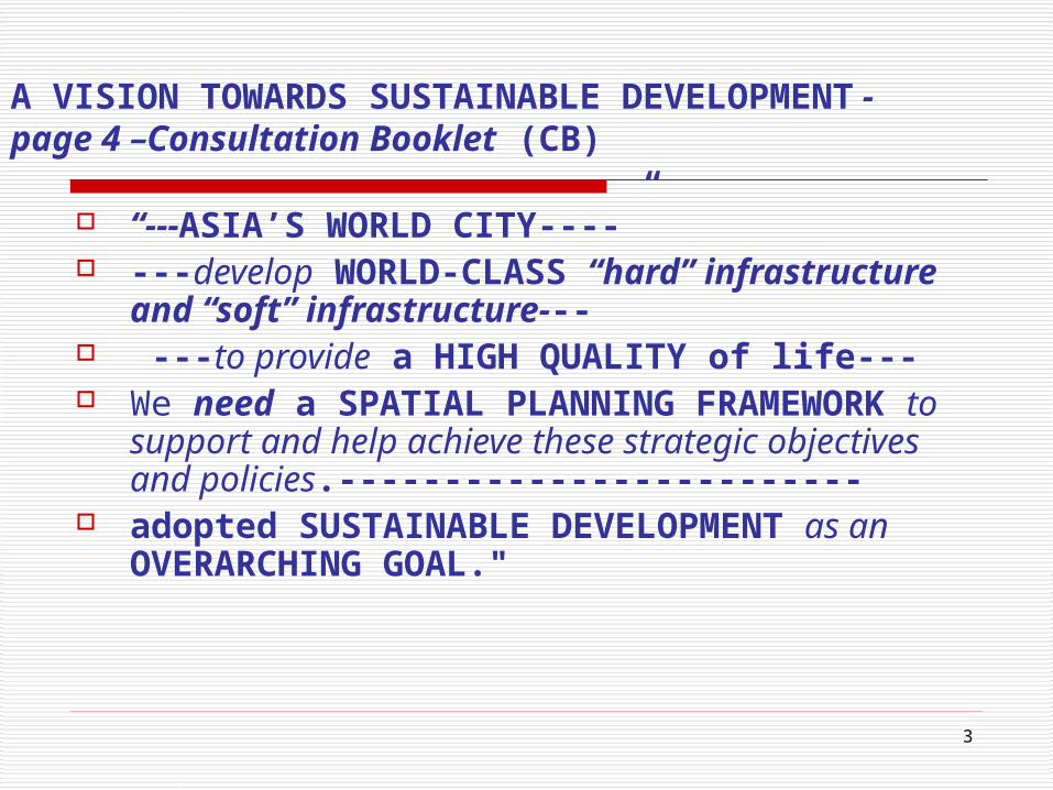
A VISION TOWARDS SUSTAINABLE DEVELOPMENT -page 4 –Consultation Booklet (CB)
“---ASIA’S WORLD CITY----” ---develop WORLD-CLASS “hard”
infrastructure and “soft” infrastructure--- ---to provide a HIGH QUALITY of life--- We need a SPATIAL PLANNING
FRAMEWORK to support and help achieve these strategic objectives and policies.-------------------------
adopted SUSTAINABLE DEVELOPMENT as an OVERARCHING GOAL."

4
A VISION TOWARDS SUSTAINABLE DEVELOPMENT -HKILA’ Inputs
• We agreed to most of the “Vision” statements.
• Except that we need more than a Spatial Planning Framework (SPF)
• A pressing need for modern Land Administration System (LAS):
to support and help achieve these strategic objectives and policies.
to manage the competing economic, environmental and social priorities that constitute Sustainable Development .
5
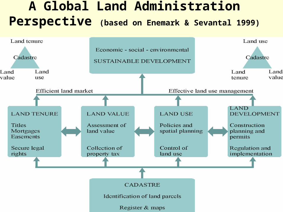
A Global Land Administration Perspective (based on Enemark & Sevantal 1999)
6
A VISION TOWARDS SUSTAINABLE DEVELOPMENT- HKILA’ Inputs
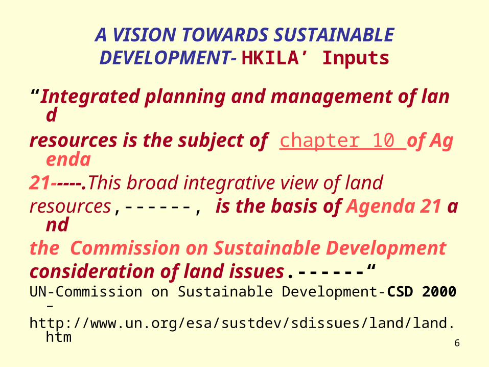
“Integrated planning and management of land resources is the subject of chapter 10 of Agenda21-----.This broad integrative view of land resources,------, is the basis of Agenda 21 and the Commission on Sustainable Development consideration of land issues.------“ UN-Commission on Sustainable Development-CSD 2000 –http://www.un.org/esa/sustdev/sdissues/land/land.htm

7
A VISION TOWARDS SUSTAINABLE DEVELOPMENT -HKILA’ Inputs
UN-FIG Bogor-Declaration (1996): visions for modern cadastral infrastructures:
(1) to support long term sustainable development and land management;
(2) to fully service the escalating needs of greatly increased urban populations.
(International Federation of Surveyors (FIG)-- http://www.fig7.org.uk/)
UN-FIG Bathurst Declaration (1999): • dynamic humankind/land-relationship,• sustainable development needs sound land
administration. (U N FIG (1999) Bathurst Declaration on Land Administration for Sustainable Development and
Proceedings of UN-FIG International Conference, Melbourne, 24-27 October 1999. )

8
A VISION TOWARDS SUSTAINABLE DEVELOPMENT- HKILA’ Inputs
Confirmed by• six UN agencies-Economic Commission for Eu
rope (UNECE), Food and Agriculture Organization of the United Nations (FAO)etc.,
• the World Bank, and
• the UN Director for Sustainable Development.
(ABSTRACT OF “SPATIAL DATA INFRASTRUCTURES AND GOOD GOVERNANCE: -FRAMEWORKS FOR LAND ADMINISTRATION REFORM TO SUPPORT SUSTAINABLE DEVELOPMENT.” Lisa Ting & Ian Williamson, Department of Geomatics, The University of Melbourne, 4th Global Spatial Data Infrastructure Conference, Cape Town, South Africa, 13-15 March 2000 )

9
PROPOSED FUTURE ROADMAP –DIRECTION I: PROVIDING A QUALITY LIVING ENVIRONMENT- Sustainable Use of LandResource - 11 -Consultation_Booklet
Rural Planning and Land Management
“Some people have suggested that the Government could take more proactive measures to address these complex issues. A holistic approach involving policy review, new implementation mechanism and land management practices with adequate funding support would be a possible option. This alternative for a holistic land management system, however, requires significant resources and extensive private participation.”
10
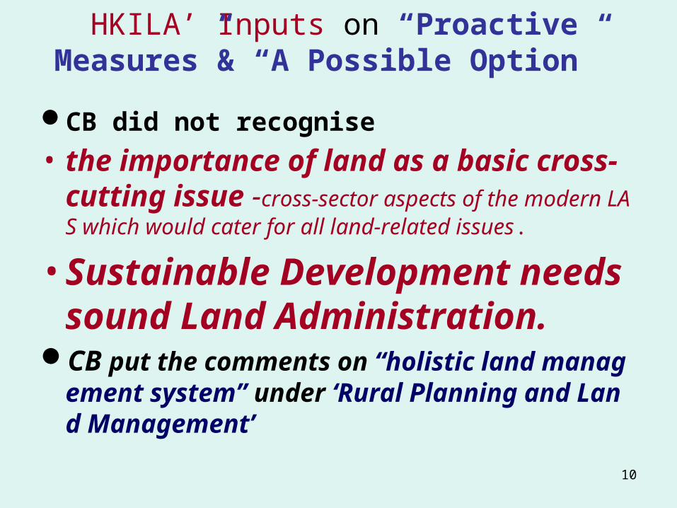
HKILA’ Inputs on “Proactive Measures”& “A Possible Option”
CB did not recognise
• the importance of land as a basic cross-cutting issue -cross-sector aspects of the modern LAS which would cater for all land-related issues.
• Sustainable Development needs sound Land Administration.
CB put the comments on “holistic land management system” under ‘Rural Planning and Land Management’

11
Placing Placing LA System in contextin context
Source: Land Administration (Peter Dale and John McLaughlin)
COUNTRY
Geography Economy
History Law
Government Land Law
Development Policy
Land Tenure Arrangements
Market-Place Considerations
Land Policy
Land Administration Arrangements
Public Lands LM Private Lands LM
Land Settlement
Land Survey
Land Registration
Land Valuation
and Assessment
Land Use Control and
Management
Infrastructure Utilities

12
HKILA’ Inputs on “Proactive Measures”& “A Possible Option”
• “ Sustainable development demands complex decision-making. Complex decision-making requires ready access to current, relevant and accurate information.
• Of particular significance is information from a spatial perspective that links into GIS, SDI and Decision support systems (DSS).”
(ABSTRACT OF “SPATIAL DATA INFRASTRUCTURES AND GOOD GOVERNANCE: -FRAMEWORKS FOR LAND ADMINISTRATION REFORM TO SUPPORT SUSTAINABLE DEVELOPMENT.” Lisa Ting & Ian Williamson, Department of Geomatics, The University of Melbourne, 4th Global Spatial Data Infrastructure Conference, Cape Town, South Africa, 13-15 March 2000 )
13
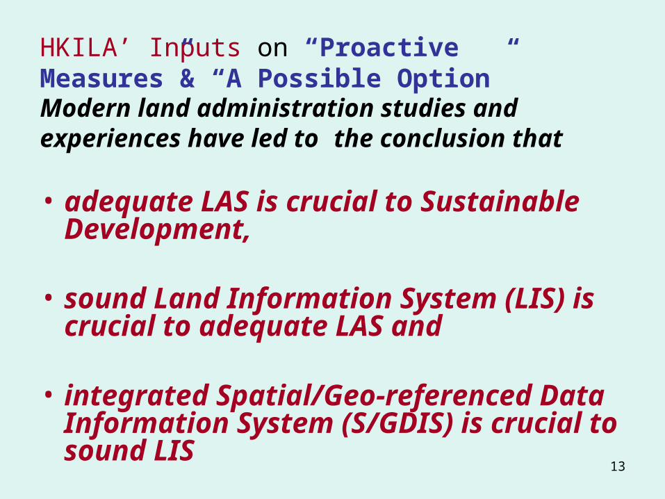
HKILA’ Inputs on “Proactive Measures”& “A Possible Option”Modern land administration studies and experiences have led to the conclusion that
• adequate LAS is crucial to Sustainable Development,
• sound Land Information System (LIS) is crucial to adequate LAS and
• integrated Spatial/Geo-referenced Data Information System (S/GDIS) is crucial to sound LIS

14
HKILA’ Inputs on “alternative for a holistic land management system”
• Growing awareness of the LAS and the SDI by countries and cities in Asia region,
• Hong Kong is losing its competitive edge in the information strategy and public administration for ignoring this important aspect of SDI development

15
HKILA’ Inputs on “alternative for a holistic land management system”
• One of the top priorities of digital earth development strategy in China is to build China's National Spatial Data Infrastructure (CNSDI). (The Digital Earth (DE) strategy has been vigorously developed in recent years especially in Pearl River and Yangtse River Delta cities.) http://www.upo.com.cn/eupo/index_02.asp?classid=3&Nclassid=8&articleid=84
URBAN PLANNING ONLINE, Guangzhou Urban Planning Automatic Center
• Even Macau has taken the initiative to establish SDI under the Cartography and Cadastre Bureau (DSCC)- http://www.gis.gov.mo/dscc/engl/newfirst.htm

16
HKILA’ Inputs on “alternative for a holistic land management system”
• HKSAR Government have a tradition of separate governmental institutions involved in the L A implementation work.
• Tedious and separate inquiries have to be made about relevant spatial /cadastral information before any decision can be made and appropriate action can take place.
17
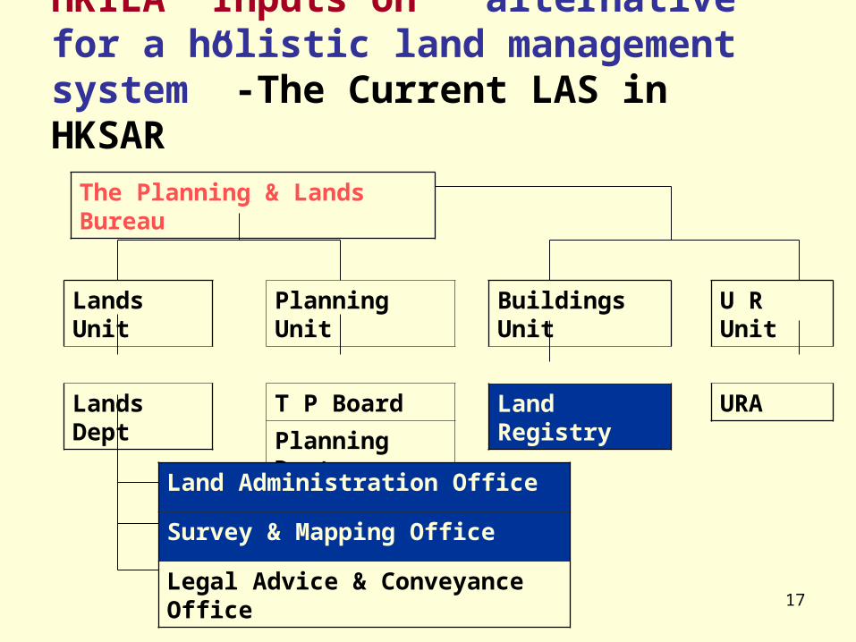
HKILA’ Inputs on “alternative for a holistic land management system” -The Current LAS in HKSAR
The Planning & Lands Bureau
Planning Unit
T P Board
Planning Dept.
Lands Unit
Lands Dept
Buildings Unit
Land Registry
U R Unit
URA
Land Administration Office
Survey & Mapping Office
Legal Advice & Conveyance Office

18
Spatial data information system in HKSARG
Land Registry (LR)• An Integrated Registration Information
System (IRIS) to replace the existing fragmented core business systems.
Survey and Mapping Office (SMO)• The digital map features are separately
coded thereby enabling selective retrieval and display. The L I Centre for maintaining a set of topographical mapping information in digital form,

19
Spatial data information system in HKSARG
Town Planning Board Spatial Data Information System
• The e- Statutory Plans- All Statutory Plans (The Outline Zoning Plans and Development Permission Area plans), uploaded onto the Internet. http://www.ozp.tpb.gov.hk/eng/disclaimeraccept.htm
• The e-Planninginfo Archives - New online planning information service http://www.ozp.tpb.gov.hk/epa/eng/DisclaimerAccept.htm
Planning Department (PD) -Setting up of A spatial planning information system
20
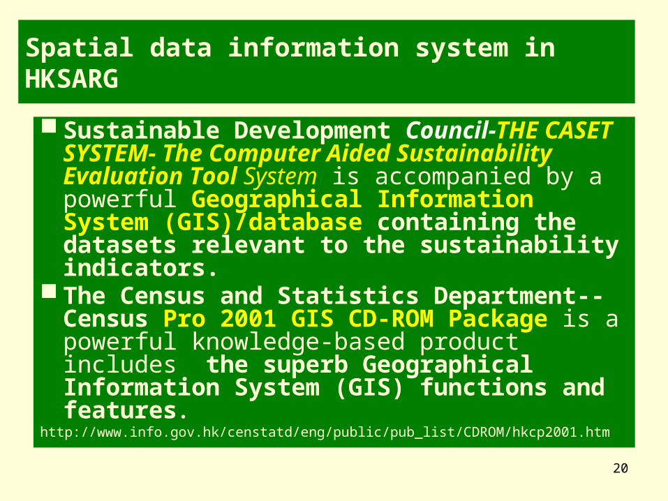
Spatial data information system in HKSARG
Sustainable Development Council-THE CASET SYSTEM- The Computer Aided Sustainability Evaluation Tool System is accompanied by a powerful Geographical Information System (GIS)/database containing the datasets relevant to the sustainability indicators.
The Census and Statistics Department--Census Pro 2001 GIS CD-ROM Package is a powerful knowledge-based product includes the superb Geographical Information System (GIS) functions and features.
http://www.info.gov.hk/censtatd/eng/public/pub_list/CDROM/hkcp2001.htm
21
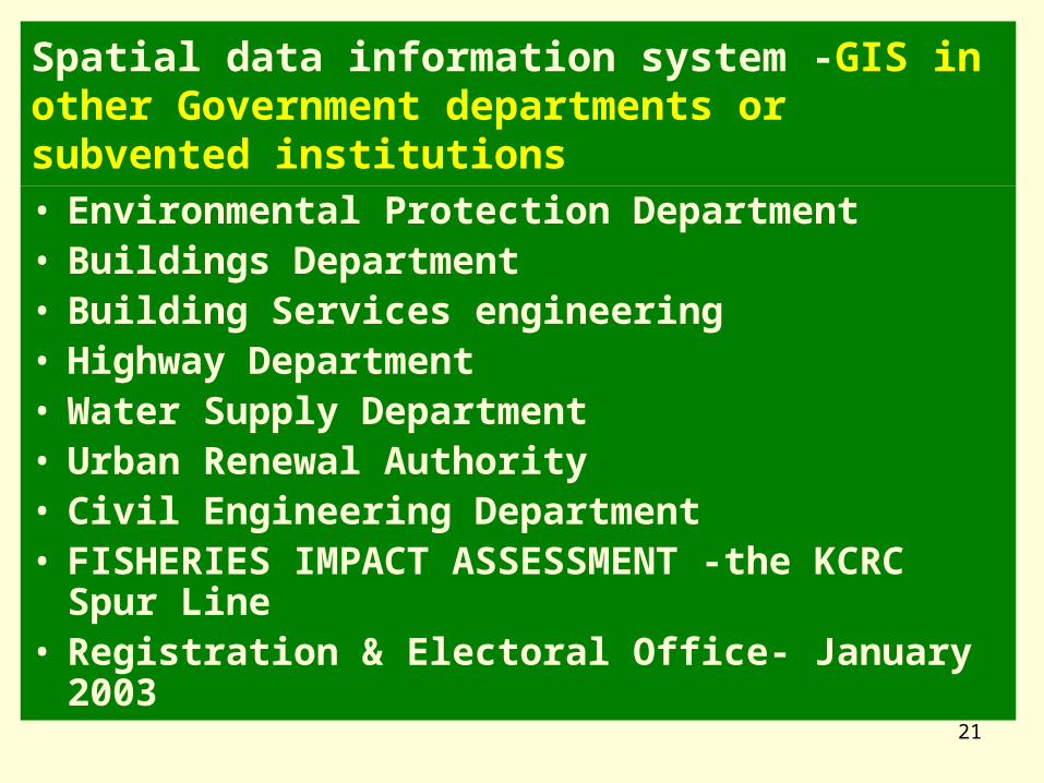
Spatial data information system -GIS in other Government departments or subvented institutions• Environmental Protection Department• Buildings Department• Building Services engineering• Highway Department• Water Supply Department • Urban Renewal Authority• Civil Engineering Department • FISHERIES IMPACT ASSESSMENT -the KCRC
Spur Line• Registration & Electoral Office- January 2003

22
Spatial data information system in HKSARG
Two initiatives within Government to integrate the spatial data assets:
1. A consultancy study to examine the sharing and exchange among concerned Government departments of geographical data collated for land, planning, development and other purposes.
This study will involve a total of 13 departments,
2. A joint study for developing the technical infrastructure for exchanging underground utilities information electronically and automatically. (Highways Department, in conjunction with Drainage Services Department, Water Supplies Department, and five major utility undertakers),
23
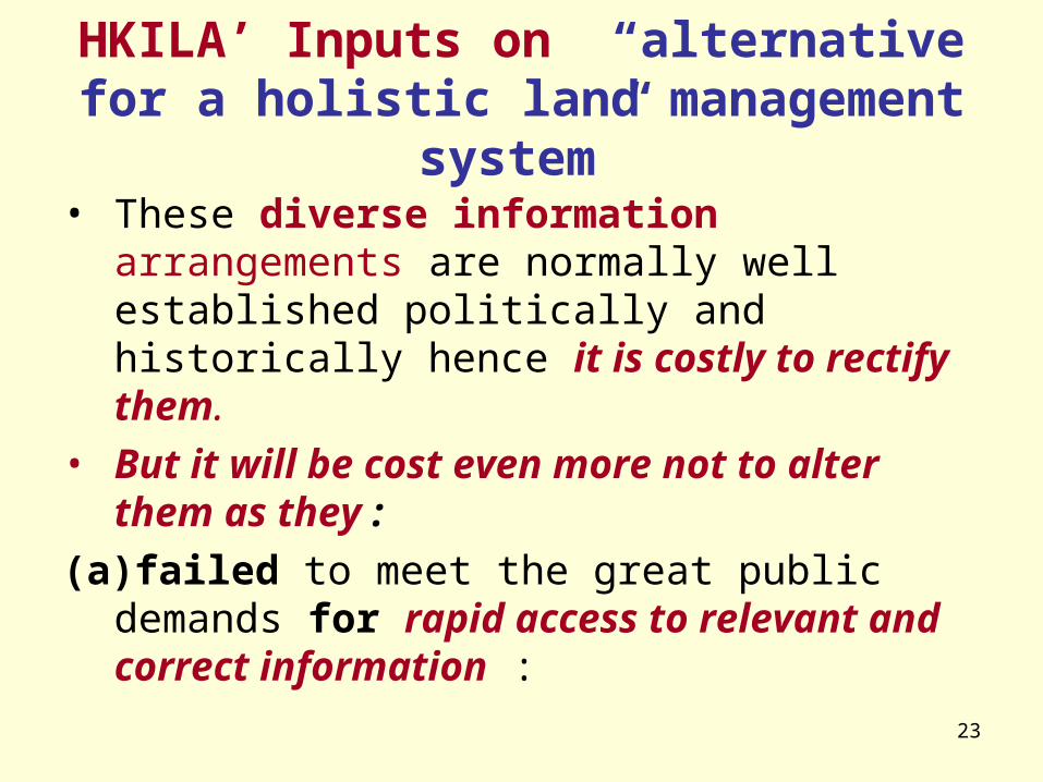
HKILA’ Inputs on “alternative for a holistic land management system”
• These diverse information arrangements are normally well established politically and historically hence it is costly to rectify them.
• But it will be cost even more not to alter them as they :
(a)failed to meet the great public demands for rapid access to relevant and correct information :
24
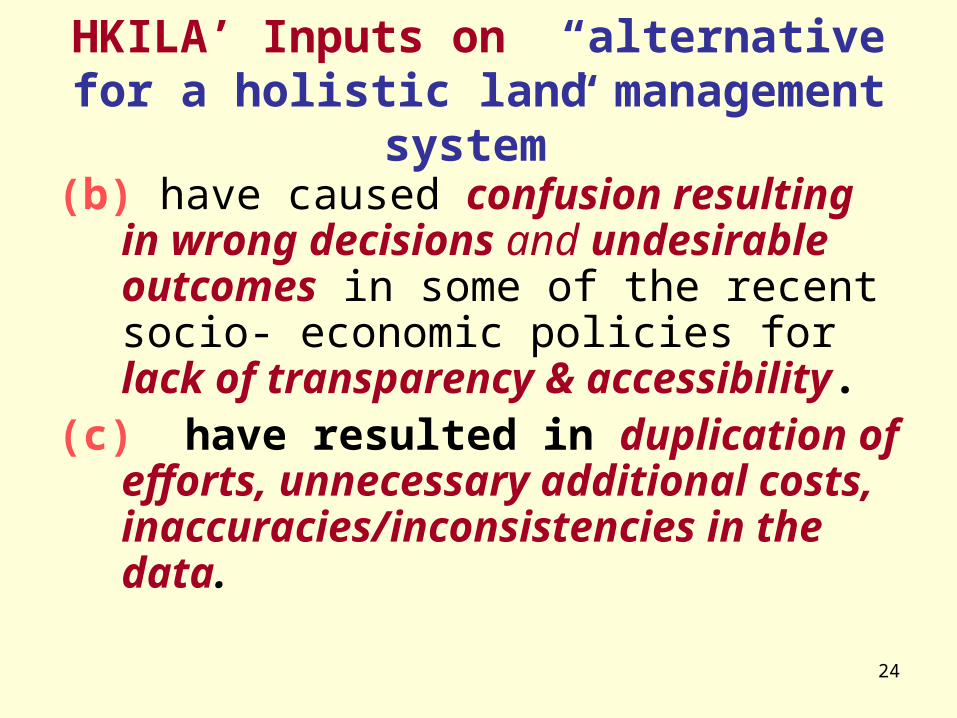
HKILA’ Inputs on “alternative for a holistic land management system”
(b) have caused confusion resulting in wrong decisions and undesirable outcomes in some of the recent socio- economic policies for lack of transparency & accessibility.
(c) have resulted in duplication of efforts, unnecessary additional costs, inaccuracies/inconsistencies in the data.

25
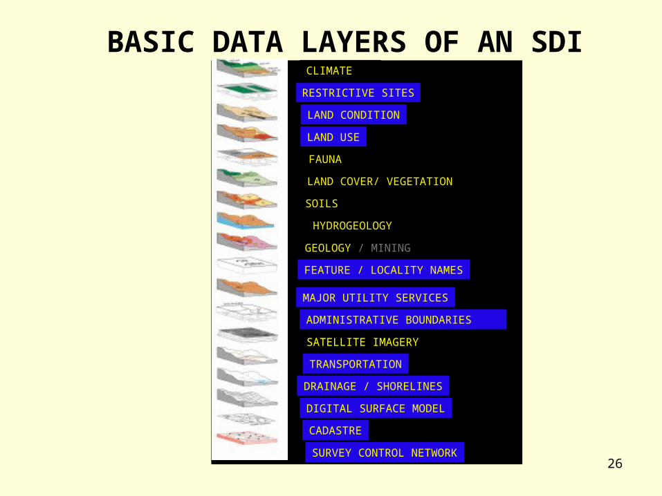
WHY SPATIAL DATA INFRASTRUCTURES?
INFRASTRUCTURE
INTEGRATION OF DATA
SHARING DATA
BETTER INFORMATION
MAKING BETTER ECONOMIC, SOCIAL AND ENVIRONMENTAL DECISIONS
26
CLIMATE
RESTRICTIVE SITES
LAND CONDITION
LAND USE
FAUNA
LAND COVER/ VEGETATION
SOILS
HYDROGEOLOGY
GEOLOGY / MINING
FEATURE / LOCALITY NAMES
MAJOR UTILITY SERVICES
ADMINISTRATIVE BOUNDARIES
SATELLITE IMAGERY
TRANSPORTATION
DRAINAGE / SHORELINES
DIGITAL SURFACE MODEL
CADASTRE
SURVEY CONTROL NETWORK
BASIC DATA LAYERS OF AN SDI
27
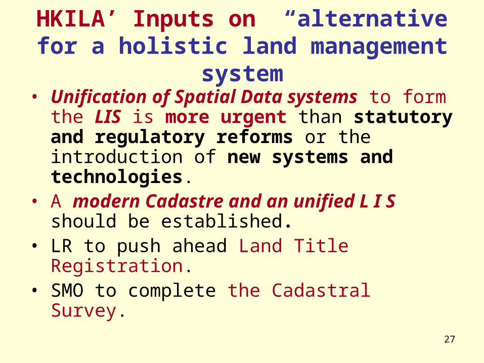
HKILA’ Inputs on “alternative for a holistic land management system
• Unification of Spatial Data systems to form the LIS is more urgent than statutory and regulatory reforms or the introduction of new systems and technologies.
• A modern Cadastre and an unified L I S should be established.
• LR to push ahead Land Title Registration.• SMO to complete the Cadastral Survey.
28
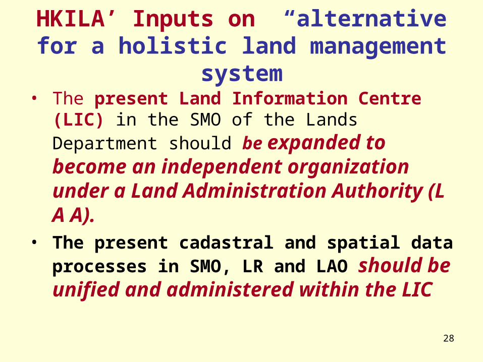
HKILA’ Inputs on “alternative for a holistic land management system
• The present Land Information Centre (LIC) in the SMO of the Lands Department should be expanded to become an independent organization under a Land Administration Authority (L A A).
• The present cadastral and spatial data processes in SMO, LR and LAO should be unified and administered within the LIC

29
LandAdministration Authority
LandAdministration
office
Land InformationCentre
Spatial Data from the TownPlanning Board & thePlanning Department
LandRegistry
Spatial Data from UrbanRenewal Authority
Survey &Mapping
Office
Spatial Data from otherDepartments
CASET System of theSustainable Development
Council
Spatial Data from the Census& Statatistics Dept.
Unification/Centralization of the HKSAR Spatial Data Systems within the LAS

30
HKILA’ Inputs on “alternative for a holistic land management system”
• Pulling together digital spatial information from various GOVERNMENT and PRIVATE agencies.
• The LIC will be an ONE-STOP RESOURCE CENTRE for complete, comprehensive and accurate digitised spatial/cadastral data.

31
HKILA’ Inputs on “significant resources ”
[UN-ECE Guidelines on Land Administration, 1996]
The central issue is not whether countries can afford such a system, but whether they can Afford To Live Without One.
32
HKILA’ Inputs on “significant resources ”
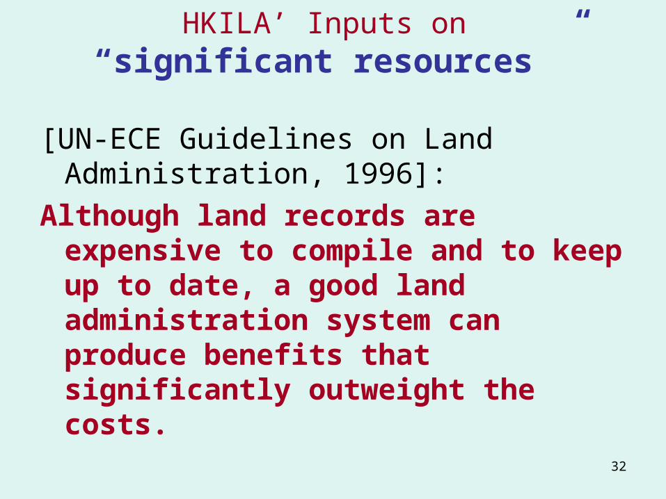
[UN-ECE Guidelines on Land Administration, 1996]:
Although land records are expensive to compile and to keep up to date, a good land administration system can produce benefits that significantly outweight the costs.

33
HKILA’ Inputs on “significant resources ”
• Both LR and SMO have already demonstrated their abilities in cost recovery for their IT Strategy development projects.
LR is operating cost-effectively as a Trading Fund entity
SMO is pushing for privatisation

34
HKILA’ Inputs on “ extensive private participation”
• Effort towards achieving Sustainable Development always require extensive Public and private partnership
• The land and property-related institutions (Public or Private) must cooperate both among themselves and with the users in order to produce a centralized LIS and related individual databases that will suit the needs of each organization.
35
HKILA’ Inputs on “ extensive private participation”
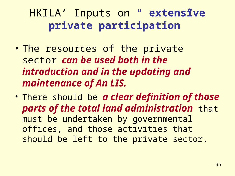
• The resources of the private sector can be used both in the introduction and in the updating and maintenance of An LIS.
• There should be a clear definition of those parts of the total land administration that must be undertaken by governmental offices, and those activities that should be left to the private sector.

36
HKILA’ Inputs on “ extensive private participation”
The institutions need
• to refocus Land Administration education, training and organisations to reflect market requirements for modern holistic approach rather than traditional divisional specialisations.
• to encourage Public and private partnership in the modern human resource development

37
SPATIAL DEVELOPMENT PATTERNS (SDP)
CONSOLIDATION PATTERN DECENTRALISATION PATTERN IMPLICATIONS OF
DEVELOPMENT PATTERNS EVALUATION OF THE OPTIONS

38
HKILA’ Inputs on SDP
• It is very important for SDP to have a formal relationship with the LAS because of the impact that development proposals will have on the land and the associated land rights.
• SDP would result in new subdivisions of the land and new patterns of land use. IV. LAND-USE PLANNING- Land Administration Guidelines , 9 August 2000, the United Nations Economic Commission for Europe (ECE)
39
HKILA’ Inputs on SDP
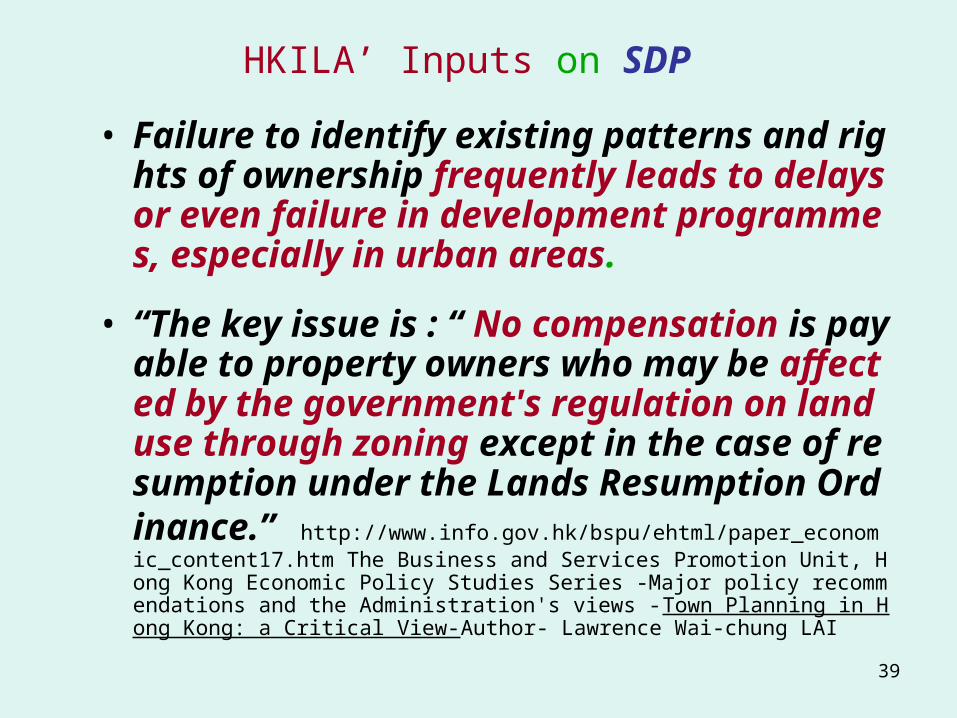
• Failure to identify existing patterns and rights of ownership frequently leads to delays or even failure in development programmes, especially in urban areas.
• “The key issue is : “ No compensation is payable to property owners who may be affected by the government's regulation on land use through zoning except in the case of resumption under the Lands Resumption Ordinance.” http://www.info.gov.hk/bspu/ehtml/paper_economic_content17.htm The Business and Services Promotion Unit, Hong Kong Economic Policy Studies Series -Major policy recommendations and the Administration's views -Town Planning in Hong Kong: a Critical View-Author- Lawrence Wai-chung LAI

40
HKILA’ Inputs on SDP• SDP is primarily concerned with future land use-
the interaction between land rights and land management.
• includes the enjoyment of the land and the rights that are associated with it.
• Should rely on some form of land administration infrastructure which permits the complex range of Rights, Restrictions and Responsibilities in land to be identified, mapped and managed as a basis for policy formulation and implementation.

41
HKILA’ Inputs on SDP“Decision support systems (DSS) link into that
infrastructure to help manage and analyse information for the process of decision-making.
Relevant DSS and SDI are imperative driving forces in the development of a new generation of land administration systems that are appropriate for the changing humankind-land relationship.” (
ABSTRACT OF “SPATIAL DATA INFRASTRUCTURES AND GOOD GOVERNANCE: -FRAMEWORKS FOR LAND ADMINISTRATION REFORM TO SUPPORT SUSTAINABLE DEVELOPMENT.” Lisa Ting & Ian Williamson, Department of Geomatics, The University of Melbourne, 4th Gl
obal Spatial Data Infrastructure Conference, Cape Town, South Africa, 13-15 March 2000 )

42
HKILA’ Inputs on SDP• Concern about SDP ‘s Equity, Transpare
ncy and Accessibility• Implications and evaluation of the Consolidation Pat
tern Decentralisation Pattern may be incomplete, inaccurate and misleading without the support of the Land Administration System.
• Land administration has a critical role in helping to address the tension between environment and development
43
香港土地行政學會Hong Kong Institute of Land Administration

44
Attachment 1 –SUGGESTED REFERENCES ON LAND ADMINISTRATION
• Dale P.D. and McLaughlin, J.D., Land Information Management, Clarendon Press: Oxford, 1988 (especially chapters 1 and 2). (RESERVE)
• Dale P.D. and McLaughlin, J.D. Land Administration, Oxford University Press, 1999 (Chapter 2) (RESERVE)
• Papers by Prof Ian WIlliamson and other researchers: http://www.sli.unimelb.edu.au/research/publications/IPW_publ.html
45
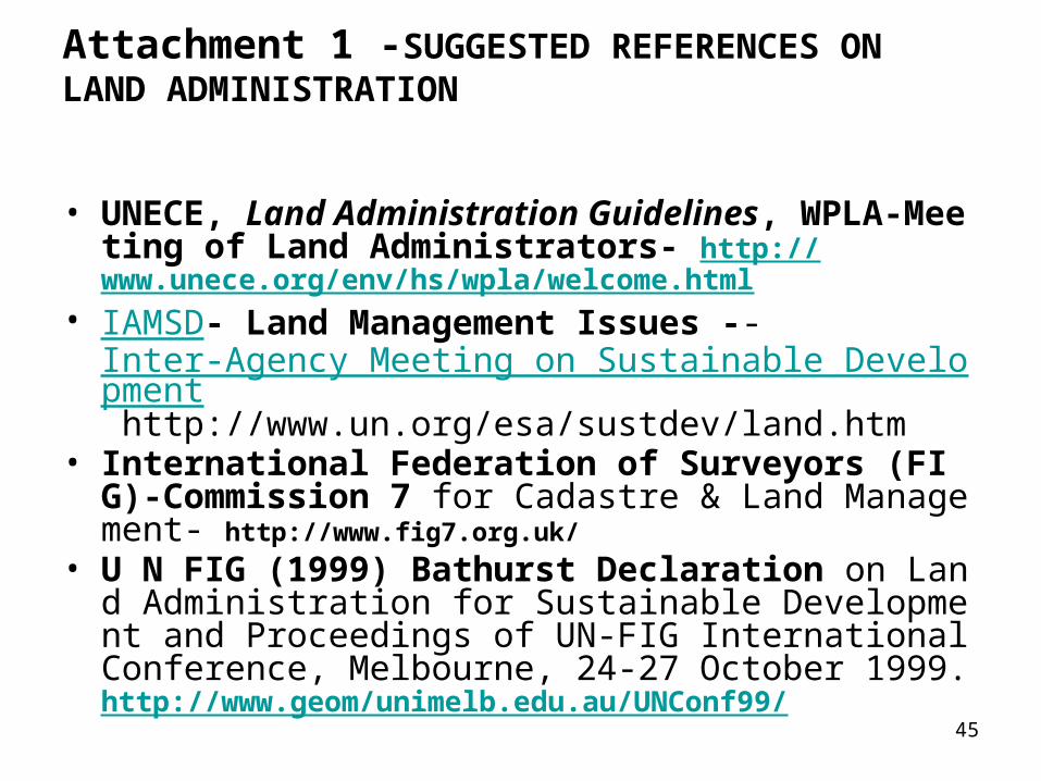
Attachment 1 -SUGGESTED REFERENCES ON LAND ADMINISTRATION
• UNECE, Land Administration Guidelines, WPLA-Meeting of Land Administrators- http://www.unece.org/env/hs/wpla/welcome.html
• IAMSD- Land Management Issues -- Inter-Agency Meeting on Sustainable Development http://www.un.org/esa/sustdev/land.htm
• International Federation of Surveyors (FIG)-Commission 7 for Cadastre & Land Management- http://www.fig7.org.uk/
• U N FIG (1999) Bathurst Declaration on Land Administration for Sustainable Development and Proceedings of UN-FIG International Conference, Melbourne, 24-27 October 1999. http://www.geom/unimelb.edu.au/UNConf99/

46
Attachment 1-Suggested References for Cadastres
• FIG Statement on the Cadastre: http://www.sli.unimelb.edu.au/fig7/cadastre/statement_on_cadastre.html.
• Henssen, J.L.G. and Williamson I.P. Land Registration, Cadastre and its interaction: A world perspective. Proceedings of FIG XIX International Congress, Vol7, Helsinki, Finland: 14-43 (1990).
• Larsson, G., Land Registration and Cadastral Systems, Longman Scientific and Technical: London, 1991. (RESERVE)
47
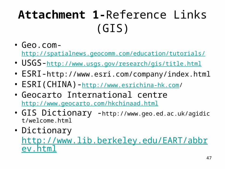
Attachment 1-Reference Links (GIS)
• Geo.com-http://spatialnews.geocomm.com/education/tutorials/
• USGS-http://www.usgs.gov/research/gis/title.html
• ESRI-http://www.esri.com/company/index.html
• ESRI(CHINA)-http://www.esrichina-hk.com/
• Geocarto International centre http://www.geocarto.com/hkchinaad.html
• GIS Dictionary -http://www.geo.ed.ac.uk/agidict/welcome.html
• Dictionary http://www.lib.berkeley.edu/EART/abbrev.html
48
Attachment 1 -Reference Links (SDI/LIS)
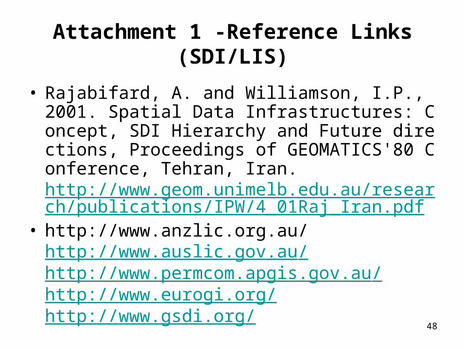
• Rajabifard, A. and Williamson, I.P., 2001. Spatial Data Infrastructures: Concept, SDI Hierarchy and Future directions, Proceedings of GEOMATICS'80 Conference, Tehran, Iran.http://www.geom.unimelb.edu.au/research/publications/IPW/4_01Raj_Iran.pdf
• http://www.anzlic.org.au/http://www.auslic.gov.au/http://www.permcom.apgis.gov.au/http://www.eurogi.org/http://www.gsdi.org/

49
Attachment 1 -Other Reference Links
• United Nations Environmental Programme: http://www.unep.or.jp/ietc/publications/insight/jun-98/2.asp
• World Bank Group: Land Policy and Administrationhttp://lnweb18.worldbank.org/ESSD/essdext.nsf/24ByDocName/LandPolicyandAdministration
• International Institute for SUS DEV http://www.iisd.ca/
• FAO-SUS DEV Department http://www.fao.org/sd/index_en.htm
• FAO-Land Reform- http://www.fao.org/sd/LTdirect/landrf.htm
• Sustainable Development HKSAR http://www.susdev.gov.hk/text/en/index.htm

50
Attachment 2-Power Point
Land Administration Reference
• Modernisation of the Land Administration (L A) IN Hong Kong Special Administration Region (HKSAR)
• Attachments (1-13)

51
Attachment 2-Power Point -Attachments of ”Modernisation of the Land Administration (L A) IN Hong Kong Special Administration Region (HKSAR)
Topics Frame No.
1. References 91-96
2. Introduction to and Administration 97-114
3. Land Administration in Denmark 115-145
4. Cadastre 2014 146-181
5. Conception and multi-sources enrichment of significant features for a multi-purpose cadastre
182-203
6. Digital Cadastral Data Base 204-222

52
Attachment 2-Power Point -Attachments of ”Modernisation of the Land Administration (L A) IN Hong Kong Special Administration Region (HKSAR)
7. Spatial Data Infrastructure 223-271
8.National and International Spatial Data Infrastructure
272-317
9. The Role of Spatial Data Infrastructure in supporting Decision-Making
318-354
10.
Victoria’s Spatial Data Infrastructure 355-379
11.
Examples of Unified LA Structure 380-422
12.
GIS In Other Government Departments Or Subvented Institutions (Detail Version)
423-444
13.
International Universities
/Institutes offering Degrees in L A and L M445-450
53
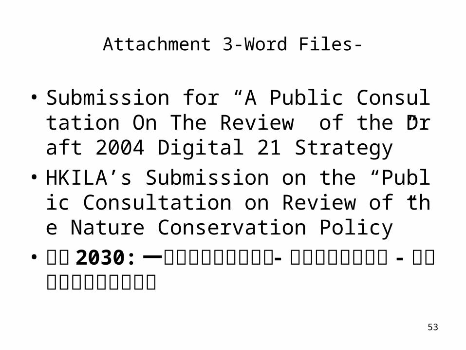
Attachment 3-Word Files-
• Submission for “A Public Consultation On The Review of the Draft 2004 Digital 21 Strategy”
• HKILA’s Submission on the “Public Consultation on Review of the Nature Conservation Policy”
• 香港 2030: 一項策略性的規劃研究 - 第二階段公眾諮詢 - 學會建議文件的行政摘要